What is recorded here
Discovered during archaeological monitoring (Excavation Licence No. 98E0440 ext.). A 12m section (max. Wth 2.3m; D 0.4m) of a ditch was excavated. The N limit was established but the S extent was not due to severe truncation. The base was cut by a pit filled with large quantities of slag. (McLoughlin 2000, 214)
Compiled by: Claire Breen
Date of upload: 4 May 2012
The monument record does not grant public access. Check the route and ask the landowner before entering private land.
- What survives
- Recorded monument
Places near here
 Enclosure in MullagharlinEnclosure · 304 yd
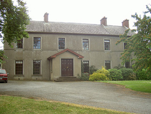 Mullaharlin Househouse · 379 yd
 Enclosure in HaggardstownEnclosure · 597 yd
 Saint Fursey's Catholic Churchchurch/chapel · 807 yd
 CastleCastle, unclassified · 1313 yd
 IndicatedCastle, unclassified · 1588 yd
 BallybarrackMountain / peak · 1.4 mi
 Broad WoodForest · 1.6 mi
 Long WoodForest · 1.7 mi
 Photo GalleryHeritage attraction · 1.9 mi
 Dundalk CentralHeritage attraction · 2.0 mi
 Bombing 1975Memorial · 2.0 mi