
What is recorded here
Identified as Archaeological Areas 3, 4, 7 through test-excavation. A series of deposits and pits that contain heat affected stone and charcoal indicating archaeological activity (Bailey & McIlreavy 2016).
Compiled by: Christine Baker
Date of upload: 8 November 2021
The monument record does not grant public access. Check the route and ask the landowner before entering private land.
- What survives
- Recorded monument
Places near here
 Pit in HolmpatrickPit · 46 yd
 Ring-ditch in HacketstownRing-ditch · 652 yd
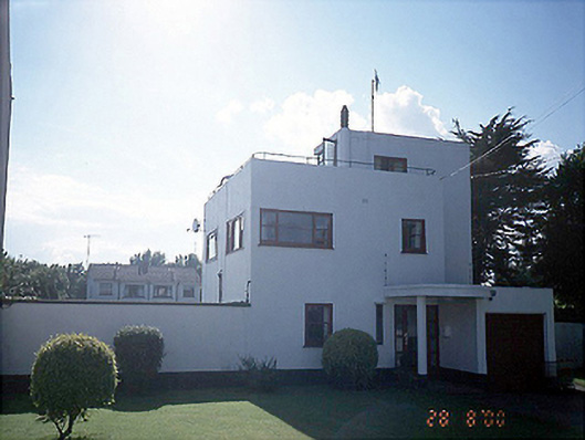 The White Househouse · 1046 yd
 Church (in Ruins)Church · 1138 yd
 Shenick IslandIslet · 1413 yd
 Skerries BeachVisitor information · 1.2 mi
 Skerries Harbour and BeachVisitor information · 1.2 mi
 Colt IslandIslet · 1.4 mi
 Skerries RockMemorial · 1.4 mi
 Percy FrenchMemorial · 1.4 mi
 Castle (in ruins)Castle, Anglo-Norman masonry castle · 1.5 mi
 Enclosure in LaneEnclosure · 806 yd
Other information
Photo: Credit not shown in the picture search · Rights wording not checked; contact us if this picture should be removed