What is recorded here
In low flat grassland just above present, meandering, course of the River Dinin. There are fairly good views across the valley in all directions. The terrier accompanying the Down Survey Parish map of Mothill (1655-6) records, ‘There is at Esker an old Stump of a Castle [KK010-118001-] with a House [KK010-117----] and Cabbins’, with the proprietor listed as ‘Edm[on]d Purcell Ir[ish] Pa[pis]t’. According to Carrigan (1905, 202) this townland belonged to the Purcells and their, 'mansion, or castle, stood about Delany's farm-yard, in Esker', he goes on to say that, 'Esker castle was entirely destroyed more than a century ago', which suggests possibly in the 18th century. The area around this farm was visited in 1987 but the castle and houses were not visible at ground level. The precise location of the houses is unknown.
Compiled by: Jean Farrelly
Date of upload: 19 December 2016
The monument record does not grant public access. Check the route and ask the landowner before entering private land.
- What survives
- Recorded monument
Places near here
 Enclosure in EskerEnclosure · 829 yd
 Church in KilcollanChurch · 1284 yd
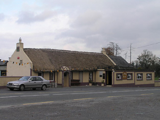 The Cavehouse · 1371 yd
 CastleCastle, unclassified · 1420 yd
 Mohil GraveyardArchaeological place · 1668 yd
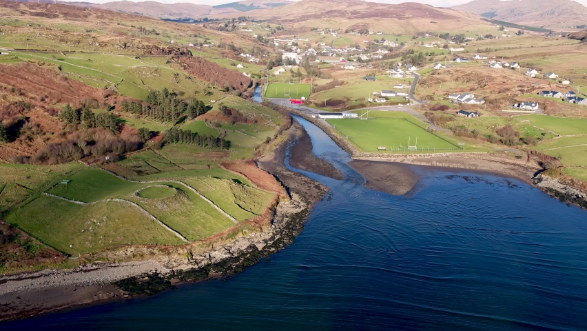 Mohil RingfortArchaeological place · 1.0 mi
 Cave of DunmoreCave · 1.1 mi
 Dunmore CavesCave · 1.1 mi
 Shanganny CastleArchaeological place · 1.2 mi
 Edward BurkeMemorial · 1.3 mi
 Saint Coleman's WellSpring · 1.4 mi
 Galvin'sForest · 1.4 mi