
What is recorded here
On the gently sloping N side of the Dinin river valley, in rolling grassland. According to Carrigan (1905, vol. 2, 202), the church from which the townland derived its name, 'has been so long obliterated, that not even a tradition of its situation has come down. It probably stood a few fields east of the Pigeon House, in the "Old Meadow," which was also the site of Kilcollan castle and other ancient buildings, uprooted from the foundations many years ago'. The church has been located based on local tradition, though there is no visible trace above ground.
Compiled by: Jean Farrelly
Date of upload: 14 January 2019
A local church or high cross; wider significance not recorded.
This remains an important historical record, but the official description says the monument is no longer visible or has been destroyed. The monument record does not grant public access. Check the route and ask the landowner before entering private land.
- What survives
- No visible remains or recorded as destroyed
Places near here
 Enclosure in KilmacarEnclosure · 1011 yd
 Shanganny CastleArchaeological place · 1136 yd
 Enclosure in EskerEnclosure · 1170 yd
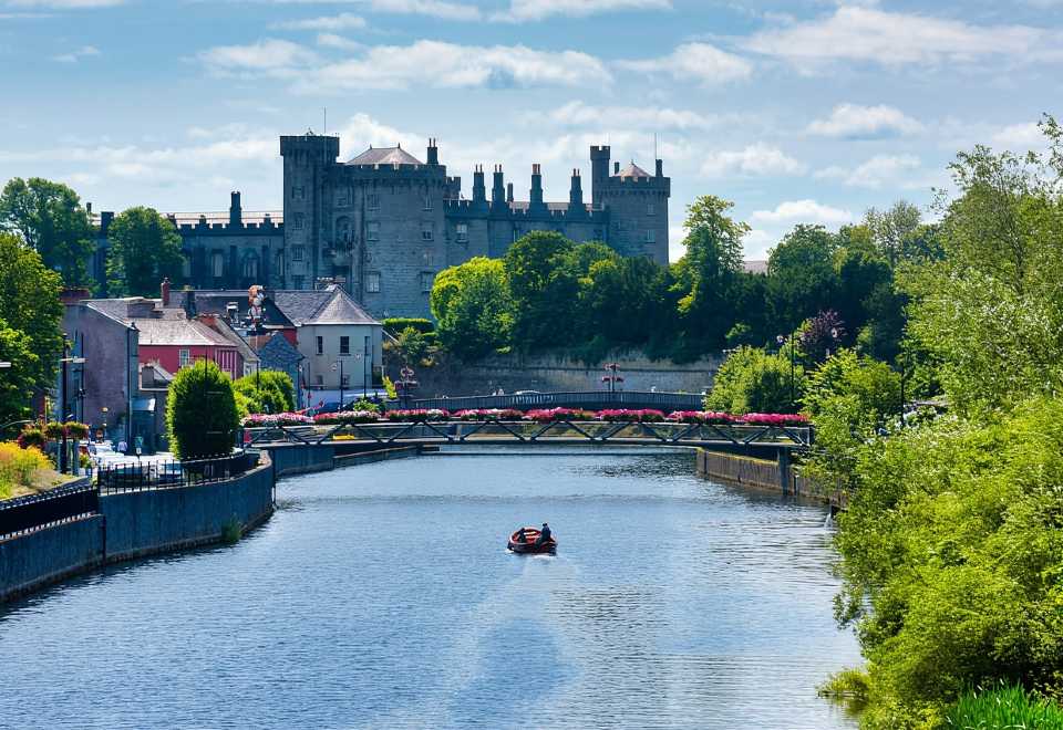 Site of Shanganny CastleCastle, unclassified · 1201 yd
 presbytery/parochial/curate's housepresbytery/parochial/curate's house · 1333 yd
 Kilmacar Church (in ruins)Church · 1520 yd
 Edward BurkeMemorial · 1.5 mi
 Mohil GraveyardArchaeological place · 1.7 mi
 Saint Coleman's WellSpring · 1.7 mi
 Cave of DunmoreCave · 1.8 mi
 Dunmore CavesCave · 1.8 mi
 Jenkinstown ParkWood · 1.9 mi
Other information
Photo: Credit not shown in the picture search · Rights wording not checked; contact us if this picture should be removed