
What is recorded here
On the gentle W-facing slope above the river Gloshia c. 1km to the E. There are good views across and along valley from N to S, view limited to W by rising ground. Kilmacar Castle (KK010-038003-) was located 60m to the SW. Within the southern portion of a graveyard (KK010-038002-). According to the OS Letters (1839, 27-9) the W gable had, ‘a public house built up against it on the outside, the door of which is within one foot of the graves’ (O’Flanagan ed. 1930, vol. 1, 9-10). This building, which fronts onto the public road, is indicated on the 1st (1839) ed. OS 6-inch map abutting the W gable of the church and running roughly northward, at right angles to the gable. The building is no indicated on the subsequent 1947 revision map.
A rectangular structure consisting of undivided nave and chancel (int. dims. L 16.6m; Wth 5.9m; wall T 0.9m), built of coursed large blocks and small slabs, bonded with a gritty mortar, aligned E-W. The W end of the church is the best preserved, including the W gable (H c. 5m) and the N and S walls (L 3.55m; H c. 2m) W of opposing doorways. The remainder of the church survives as low wall-footings (H c. 0.5m) with a gap of 2m in the N wall. The N doorway (Wth 1.05m) has a dressed sandstone surround, chamfered externally, the top of the doorway is missing. The doorway embrasure has a drawbar-hole in the W side. The S doorway is broken out (Wth of gap 1.4m). The W gable has a set-back (H 2m above int. ground level) to support a timber gallery.
Compiled by: Jean Farrelly
Date of upload: 5 December 2018
The monument record does not grant public access. Check the route and ask the landowner before entering private land.
- What survives
- Recorded monument
Places near here
 Grave YdGraveyard · 6 yd
 Site of CastleCastle, unclassified · 78 yd
 Enclosure in KilmacarEnclosure · 509 yd
 Church in KilcollanChurch · 1520 yd
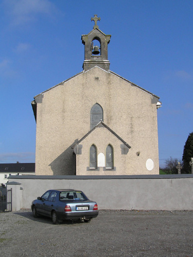 Saint Colman's Catholic Churchchurch/chapel · 1548 yd
 Shanganny CastleArchaeological place · 1668 yd
 Edward BurkeMemorial · 2.0 mi
 Donaghmore WellSpring · 2.0 mi
 Jenkinstown ParkForest · 3.0 mi
 Graveyard in SraleaghGraveyard · 3.1 mi
 Castlecomer Discovery ParkHeritage attraction · 3.9 mi
 Footprints In CoalMuseum · 4.0 mi
Other information
Photo: A.-K. D. · CC BY-SA 4.0