What is recorded here
On the Down Survey (1655-6) Parish map of Mothill, there is a house drawn in the S portion of the townland, immediately W of a castle (KK010-118001-), N of the Dinin River. The terrier accompanying the map records, ‘There is at Esker an old Stump of a Castle with a House and Cabbins [KK010-118002-]’, with the proprietor listed as ‘Edm[on]d Purcell Ir[ish] Pa[pis]t’. The precise location of this house within the townland is unknown.
Compiled by: Jean Farrelly
Date of upload: 15 January 2019
The monument record does not grant public access. Check the route and ask the landowner before entering private land.
- What survives
- Recorded monument
Places near here
 Enclosure in EskerEnclosure · 829 yd
 Church in KilcollanChurch · 1284 yd
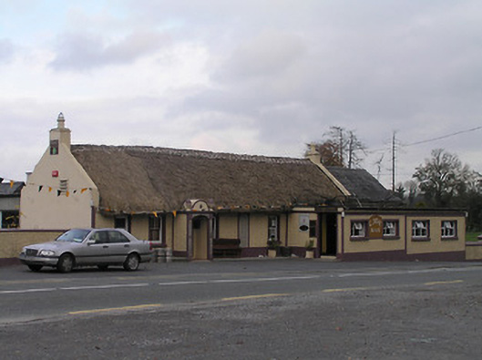 The Cavehouse · 1371 yd
 CastleCastle, unclassified · 1420 yd
 Mohil GraveyardArchaeological place · 1668 yd
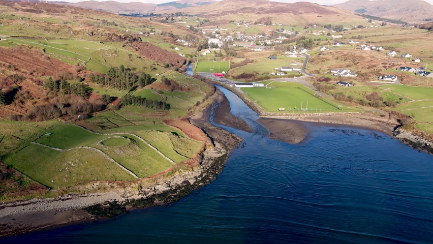 Mohil RingfortArchaeological place · 1.0 mi
 Cave of DunmoreCave · 1.1 mi
 Dunmore CavesCave · 1.1 mi
 Shanganny CastleArchaeological place · 1.2 mi
 Edward BurkeMemorial · 1.3 mi
 Saint Coleman's WellSpring · 1.4 mi
 Galvin'sForest · 1.4 mi