What is recorded here
The fairy fort or earthen ringfort in Erry is in County Tipperary, Ireland. It occupies a grassland slope facing northeast, with a circular interior measuring 38 metres north to south and 44 metres east to west. An earth and stone bank encloses the area, standing 1 to 1.7 metres high externally and 0.4 to 0.8 metres high internally. Slight traces of an outer ditch appear only at the west, where a two-metre livestock gap also breaks the bank.
In grassland situated on a NE-facing slope of rising ground in upland area with good views to E and S, limited views elsewhere. Church and graveyard (TS053-045----/TS053-045001-) 500m to W. A circular area (approx. int. diam. 38m N-S; 44m E-W) enclosed by a tree-line earth and stone bank (base Wth 4m; top Wth 2m; int. H 0.4-0.8m; ext. H 1-1.7m) levelled from W through N to NE, with slight traces of an outer fosse visible at W only and livestock gap (Wth 2m) in bank at W. The NW quadrant of the ringfort appears to have been levelled between the 1st (1840) ed. OS 6-inch map and the 2nd (1953-4) ed.
Compiled by: Jean Farrelly
Date of upload: 26 August 2011
The monument record does not grant public access. Check the route and ask the landowner before entering private land.
- What survives
- Recorded monument
Places near here
 Settlement desertedSettlement deserted, medieval · 481 yd
 Bawn in ErryBawn · 510 yd
 Water millWater mill, horizontal-wheeled · 689 yd
 RaheenFairy fort / earthen ringfort · 1116 yd
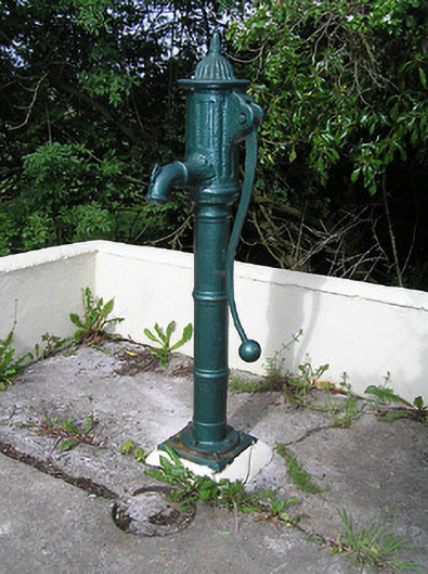 water pumpwater pump · 1331 yd
 Ballinure HillMountain / peak · 1.2 mi
 Castle in RuinsCastle, motte and bailey · 1.3 mi
 Taylor's WoodWood · 1.7 mi
 Ballyknock HillMountain / peak · 3.2 mi
 Gift Horse GalleryGallery · 3.9 mi
 Horse and JockeyVisitor information · 4.0 mi
 Gobban Saer's GraveArchaeological place · 4.0 mi