What is recorded here
Towards the bottom of a NE-facing slope and just NW of rath (RO006-033001-). Evidence of a buried burnt feature was recovered beside a spring in a trial cutting connected with the Boyle by-pass road (Ó'Ríordáin 1990b; Channing 1994a, 69-70).
Compiled by: Michael Moore
Date of upload: 24 August 2010
Burnt mound in Erris is a Bronze Age ritual or industrial site, characterized by the presence of heat-shattered stones, likely used for cooking, hide processing, or ceremonial purposes. Its location near a rath suggests a possible settlement or land-use connection in the prehistoric landscape.
The monument record does not grant public access. Check the route and ask the landowner before entering private land.
- What survives
- Recorded monument
Places near here
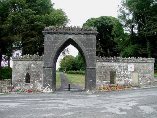 Rockingham Housegate lodge · 174 yd
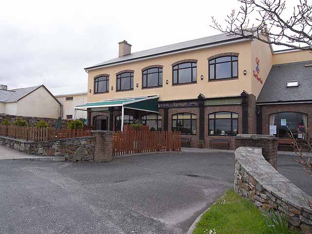 TobernadrinneyHoly well · 491 yd
 TemplenadrineyChurch · 545 yd
 OmdocatedFairy fort / stone ringfort · 970 yd
 Erris BayBay · 1281 yd
 Bingham IslandIslet · 1508 yd
 Boyle AbbeyHeritage attraction · 1689 yd
 Trinity IslandIslet · 1.1 mi
 King William MemorialMonument · 1.1 mi
 Lough Key Forest ParkWood · 1.2 mi
 Western RedcedarWestern Redcedar · 1.5 mi
 Horse-chestnutHorse-chestnut · 1.6 mi