
What is recorded here
Indicated is a large oval enclosure on an east-facing slope above Lough Gulladoo, where a thick stone wall rides an earthen bank and a rectangular burial ground presses against its eastern edge. Local tradition still calls it a fort, though no written history has named the people who built it or buried their dead beside it. The lake below has watched the grass grow over that boundary for centuries, keeping the shape intact while forgetting every name that once moved through it.
Located at the crest of and on an E-facing slope overlooking Lough Gulladoo, also known as Errew Lough. This is a grass-covered oval area (dims c. 95m NE-SW; c. 75m NW-SE) defined by a stone wall on top of an earthen bank (at N: Wth 6.6m; int. H 1.3m; ext. H 1.4m). Against the perimeter at E is the rectangular burial ground (LE0334-006----). The enclosure is regarded in the folk tradition as a ‘fort’ (IFC: Schools’ Collection, vol. 0228, 186, 196).
Compiled by: Michael Moore
Date of upload: 9 December, 2019
The monument record does not grant public access. Check the route and ask the landowner before entering private land.
- What survives
- Recorded monument
Places near here
 CornaferstMountain / peak · 835 yd
 DrumbreanlisMountain / peak · 1434 yd
 St. Patricks WellHoly well · 1515 yd
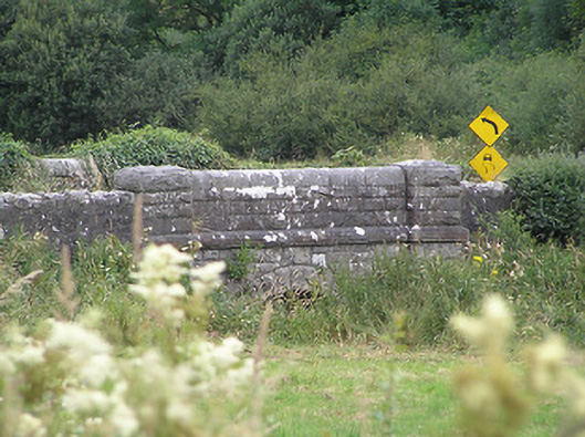 Drumury Bridgebridge · 1.3 mi
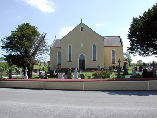 Saint Mary's Catholic Churchchurch/chapel · 1.4 mi
 European YewEuropean Yew · 1.4 mi
 Fairy fort / earthen ringfort in FihoraghFairy fort / earthen ringfort · 1.6 mi
 Ticosker WoodWood · 2.0 mi
 King's GraveArchaeological place · 2.5 mi
 North Midland Transport CollectionMuseum · 4.2 mi
 Bawn in CastlepolesBawn · 4.3 mi
 CastleBawn · 4.6 mi
Other information
Photo: Credit not shown in the picture search · Rights wording not checked; contact us if this picture should be removed