What is recorded here
Indicated is a living graveyard on the highest point of an Ennistymon hill, where an 18th-century church still stands beside graves laid down through the 19th and 20th centuries. Its trapezoidal shape and plain mortared wall make it feel less like a monument and more like a room the town keeps returning to. The two Finnucane family vaults on the eastern slopes suggest that some lines believed they would remain visible long after ordinary memories faded.
Situated on the highest point of a prominent hill in Ennistymon town. A trapezoidal-shaped graveyard (c. 100m E-W; c. 90m N-S) defined by a plain mortared wall. An 18th-century church (CL015-103001-) lies in the NW quadrant. The graveyard is still in use and has many 19th and 20th headstones and graveslabs. Two family vaults (Finnucane family) dominate the E slopes.
Compiled by: Mary Tunney
Date of upload: 23 March 2016
The monument record does not grant public access. Check the route and ask the landowner before entering private land.
- What survives
- Recorded monument
Places near here
 Church (in ruins)Church · 41 yd
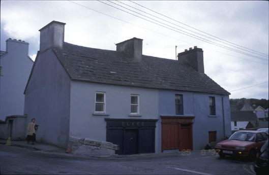 Blake and Linnanehouse · 158 yd
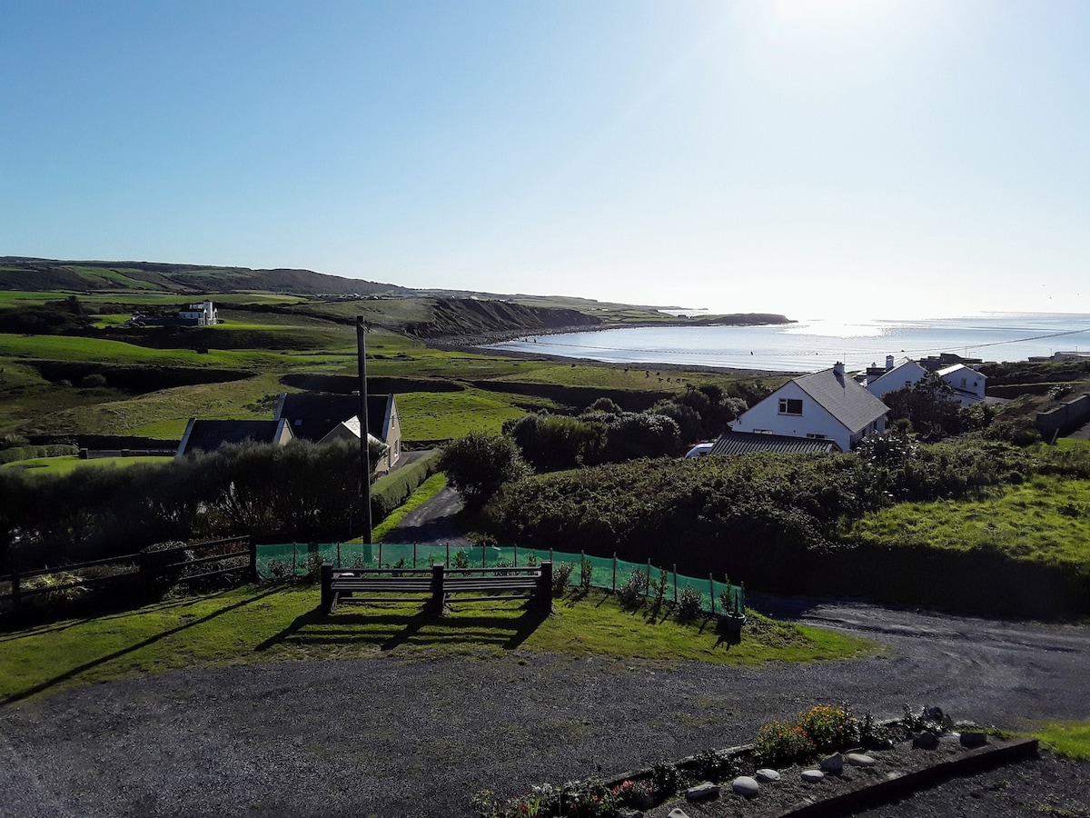 LissabaddraduffFairy fort / earthen ringfort · 924 yd
 Glen Castle (in Ruins)Castle, tower house · 983 yd
 Famine MemorialMemorial · 1622 yd
 LissydeelaFairy fort / earthen ringfort · 1.0 mi
 Kilmanahn GraveyardRuins · 1.1 mi
 Fort Ho.Bawn · 2.0 mi
 Lahinch BeachBeach / strand · 2.7 mi
 TullygarvanWood · 2.7 mi
 John P. Holland CentreMuseum · 4.3 mi
 Burren Centre KilfenoraVisitor information · 4.7 mi