
What is recorded here
Situated on the highest point of a prominent hill in Ennistymon, in the NW quadrant of a trapezoidal graveyard (CL015-103002-). Visible from all points and commands a good view. Listed as ‘Church’ in the SMR (1992) and the RMP (1996). A Church of Ireland church built in 1778 and in ruins since at least 1830 (Swinfen 1992, 66). The present remains consist of a rectangular roofless building of mortared random-coursed masonry with stressed quoins (int. dims. 6.6m N-S; 14.35m E-W). All walls stand to their original height (sidewalls H 6.5m) and ivy has been removed from the walls, with evidence of repointing visible in the interior. There is a pointed-arch doorway in the W gable with a blocked plain ope above suggesting a gallery or choir. There are four pointed-arch, single-light windows, three in the N wall and one in the E. the interior of the church contains many graveslabs and headstones.
Compiled by: Mary Tunney
Date of upload: 23 March 2016
This remains an important historical record, but the official description says the monument is no longer visible or has been destroyed. The monument record does not grant public access. Check the route and ask the landowner before entering private land.
- What survives
- No visible remains or recorded as destroyed
Places near here
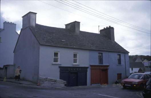 Blake and Linnanehouse · 137 yd
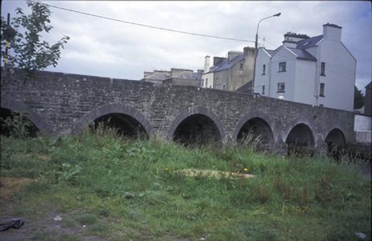 bridgebridge · 169 yd
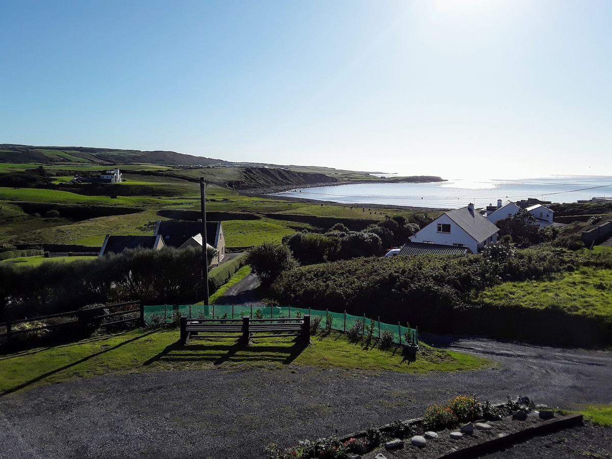 LissabaddraduffFairy fort / earthen ringfort · 950 yd
 Glen Castle (in Ruins)Castle, tower house · 1018 yd
 Famine MemorialMemorial · 1613 yd
 LissydeelaFairy fort / earthen ringfort · 1754 yd
 Kilmanahn GraveyardRuins · 1.1 mi
 Fort Ho.Bawn · 2.0 mi
 Lahinch BeachBeach / strand · 2.7 mi
 TullygarvanWood · 2.7 mi
 John P. Holland CentreMuseum · 4.3 mi
 Burren Centre KilfenoraVisitor information · 4.7 mi
Other information
Photo: Credit not shown in the picture search · Rights wording not checked; contact us if this picture should be removed