
What is recorded here
Rathkeale is a fairy fort and earthen ringfort on a hill at the south end of Rathkeale town in County Limerick. The knoll rises about two metres above the sub-rectangular field around it, stretching roughly 40 metres east-west and 32 metres north-south, with the ground sloping away gradually on every side. People may have lived there, feared the fairies beneath it, or simply walked past because the town had grown around the hill.
The Urban Survey of Limerick recorded the following details about the Rath of Rathkeale; 'Located on a hill at the south end of the town. It appears as a natural knoll c.2m higher that the sub-rectangular field in which it is situated. It measures 40m east-west by 32m
north-south and the ground slopes away gradually on all sides' (Bradley et. al. 1989, 224-5). Outline of enclosure not visible today on Digital Globe aerial photography.
Compiled by: Caimin O'Brien
Date of upload: 14 January 2019
The monument record does not grant public access. Check the route and ask the landowner before entering private land.
- What survives
- Recorded monument
Places near here
 Mount Southwellcountry house · 127 yd
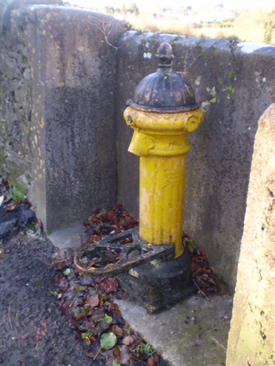 water pumpwater pump · 173 yd
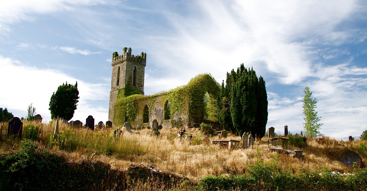 Grave YardGraveyard · 221 yd
 Glebe CastleCastle · 304 yd
 Fulacht fia in CastlematrixFulacht fia · 677 yd
 Castle MatrixCastle, tower house · 834 yd
 TobernablahySpring · 1.4 mi
 European ashEuropean ash · 2.1 mi
 St. Kieran's WellSpring · 2.5 mi
 Flat cemetery in CroaghFlat cemetery · 3.2 mi
 Flat cemetery in Kiltenan SouthFlat cemetery · 4.8 mi
 Holy Trinity Church (Rathkeale)mausoleum · 212 yd
Other information
Photo: Credit not shown in the picture search · Rights wording not checked; contact us if this picture should be removed