What is recorded here
Situated on a small hill in a gently undulating landscape within the demesne of Lisrenny House, which his c. 500m to the SSW. The cropmark of an unmapped circular enclosure (diam. c. 70m) defined by a single slight fosse is visible only on Google Earth (Mar. 2022; Apr. 2022). It may have an internal, eccentrically placed enclosure (diam. c. 30m), and the entrance to Man-made underground passage (LH014-007----) is just outside its perimeter at NW. The enclosure was first reported by Jean Charles Caillére.
See the attached enhanced view from Google Earth (Apr. 2022)
Compiled by: Michael Moore
Date of upload: 12 July 2022
The monument record does not grant public access. Check the route and ask the landowner before entering private land.
- What survives
- Recorded monument
Places near here
 Long PlantationForest · 486 yd
 Lisrenny (Site of)Enclosure · 635 yd
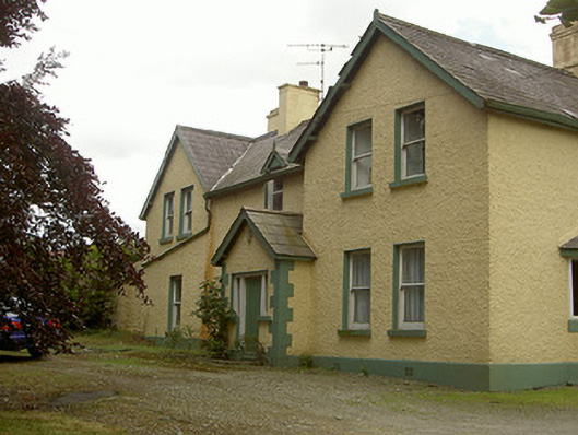 Church Parkhouse · 725 yd
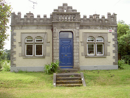 Lisrenny Housegate lodge · 746 yd
 Remains of a Monumental PillarCross, Wayside cross · 1319 yd
 Louth HallCastle, tower house · 1580 yd
 MoatCastle, motte and bailey · 1.5 mi
 European BeechEuropean Beech · 2.5 mi
:no_upscale()/cdn.vox-cdn.com/uploads/chorus_asset/file/25593391/County_Louth_6th.jpg) LouthMountain / peak · 2.9 mi
LouthMountain / peak · 2.9 mi Graveyard in StickillinGraveyard · 3.6 mi
 Graveyard in Richardstown (ardee By., Richardstown Par.)Graveyard · 4.6 mi
 Mount OrielMountain / peak · 7.9 mi