What is recorded here
Located on a N-facing slope overlooking the valley of the W-E Glyde River, and clearly visible on Google Earth (21/07/2021). The cropmark of a large subcircular enclosure (dims c. 85m E-W; c. 75m N-S) defined by a continuous fosse can be traced WSW-N-ESE. It is cut by an E-W field bank S of the centre and is not visible in the crop S of this feature. A rectangular field (dims c. 90m N-S; c. 35-55m E-W) is attached to the perimeter at N, and a crescent-shaped enclosure (Wth c. 10-20m) is attached outside the defining fosse of the large enclosure SW-N-NE, from where another drain curves out to the N and E (Chord c. 65m E-W). The cropmarks of drains associated with mapped fields can be seen further N. The features were first reported by Anthony Murphy.
See the attached enhanced view from Google Earth (21/07/2021)
Compiled by: Michael Moore
Date of upload: 31 August 2021
The monument record does not grant public access. Check the route and ask the landowner before entering private land.
- What survives
- Recorded monument
Places near here
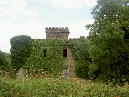 Drumcashel Housecountry house · 520 yd
 Drumcashel FortCastle, motte · 560 yd
 Enclosure in RoodstownEnclosure · 1284 yd
 Roodstown CastleCastle, tower house · 1417 yd
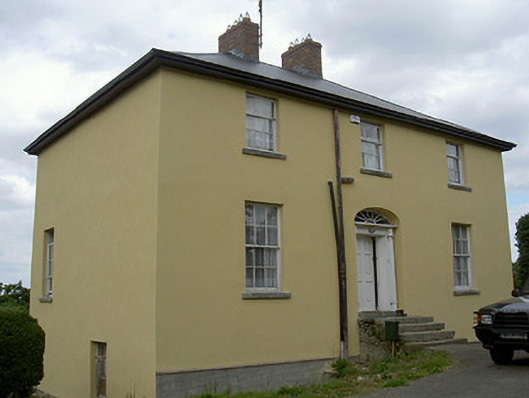 Glebe Houserectory/glebe/vicarage/curate's house · 1496 yd
 Ecclesiastical enclosure in StabannanEcclesiastical enclosure · 1608 yd
 Graveyard in Richardstown (ardee By., Richardstown Par.)Graveyard · 1.4 mi
 Monterey CypressMonterey Cypress · 1.4 mi
 Rabbit BurrowWood · 1.8 mi
 Graveyard in StickillinGraveyard · 1.9 mi
 Drummeenagh HillMountain / peak · 3.6 mi
 Mount OrielMountain / peak · 6.1 mi