What is recorded here
On low lying wet pasture, cut by land drains and watercourses, 20m N of a townland boundary with Rockbarton. Three habitation sites (LI032-080001-/02-/03-) lie 170m to SW. Not depicted on OSi historic maps. Monument identified by the Bruff aerial photographic survey in 1986 (Bruff 281: AP 4/3601) as a semicircular-shaped cropmark which appears to be open to NNE. Levelled monument is not visible on OSi orthoimage taken 2005-2012, or on Digital Globe orthoimage taken 2011-2013 or on Google Earth orthoimage 20/09/2020.
See attached Google Earth orthoimage and Bruff aerial survey image labelled 281.
Compiled by: Alison McQueen and Vera Rahilly
Date of upload: 25 November 2020
The monument record does not grant public access. Check the route and ask the landowner before entering private land.
- What survives
- Recorded monument
Places near here
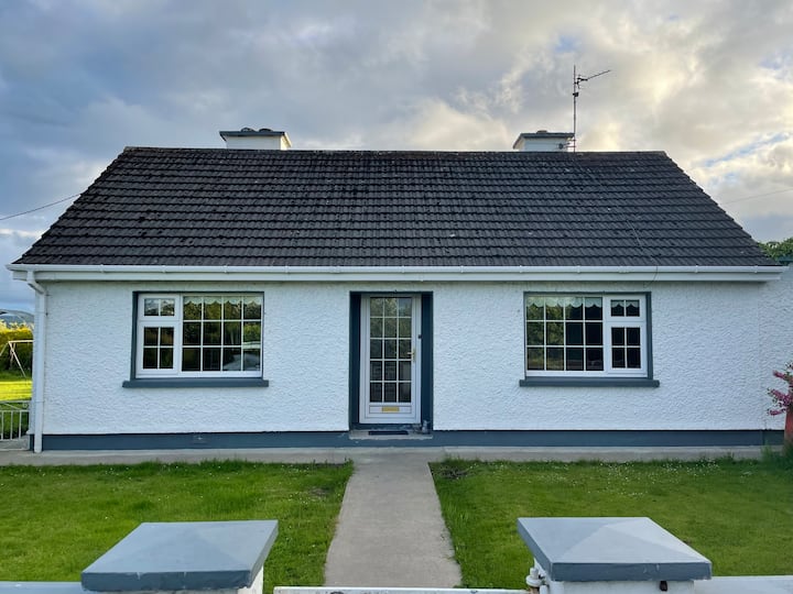 Habitation site in Rockbarton (coshma By.)Habitation site · 263 yd
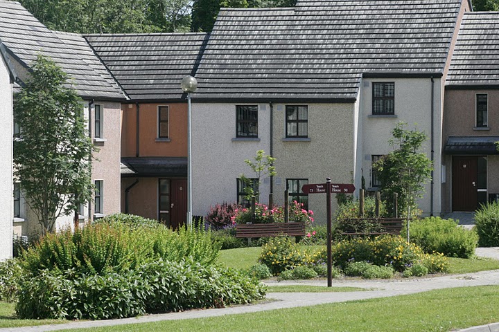 Settlement cluster in Raheen (coshma By.)Settlement cluster · 310 yd
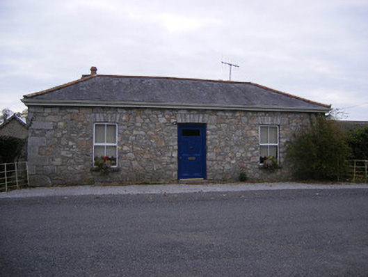 Rockbarton Housegate lodge, outbuilding · 951 yd
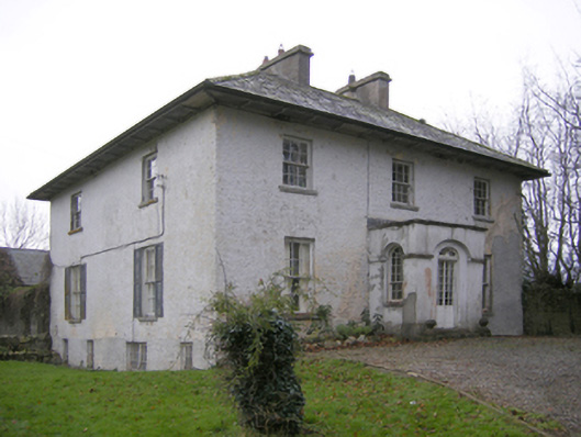 Glebe Houserectory/glebe/vicarage/curate's house · 1008 yd
 Bawn in Grange (smallcounty By.)Bawn · 1037 yd
 Grange Stone circleVisitor information · 1161 yd
 Lough GurVisitor information · 1162 yd
 CastleCastle, unclassified · 1210 yd
 Pedunculate OakPedunculate Oak · 1.6 mi
 The SpectaclesVisitor information · 1.8 mi
 Lough Gur Heritage CentreVisitor information · 1.8 mi
 KnockainyMountain / peak · 3.8 mi