What is recorded here
An oval enclosure (dims. c. 50m NW-SE; c. 40m NE-SW), indicated on the 1st (1839) ed. OS 6-inch map and on the 1947 revision, though on the latter map the bank on the E side of the monument, from NE-SE, has been replaced by a field boundary. Another field boundary, runs roughly NE-SW on the bank from SW-N-NE.
Compiled by: Jean Farrelly
Date of upload: 23 August 2021
The monument record does not grant public access. Check the route and ask the landowner before entering private land.
- What survives
- Recorded monument
Places near here
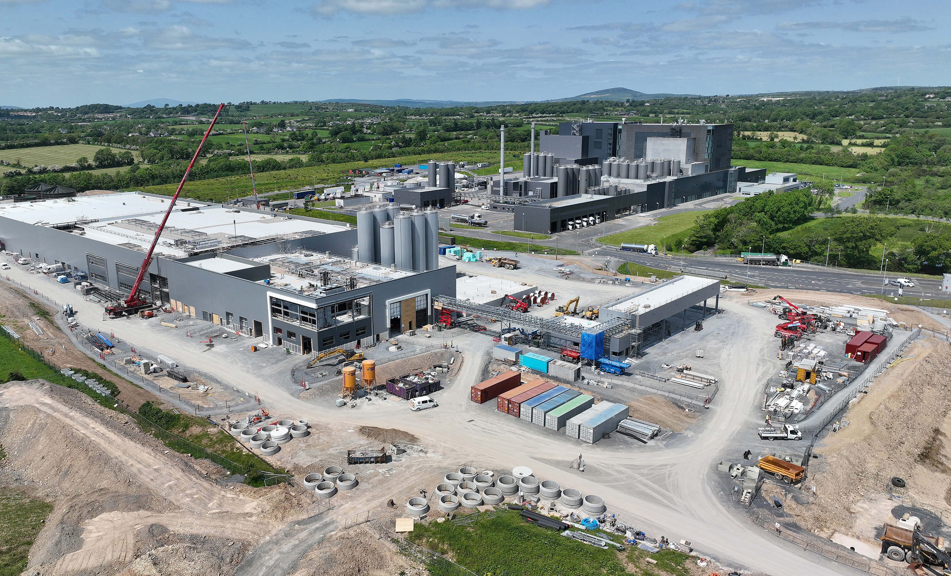 Enclosure in CoalsfarmEnclosure · 1180 yd
 Enclosure in FarmleyEnclosure · 1378 yd
 Conway Hallhouse · 1586 yd
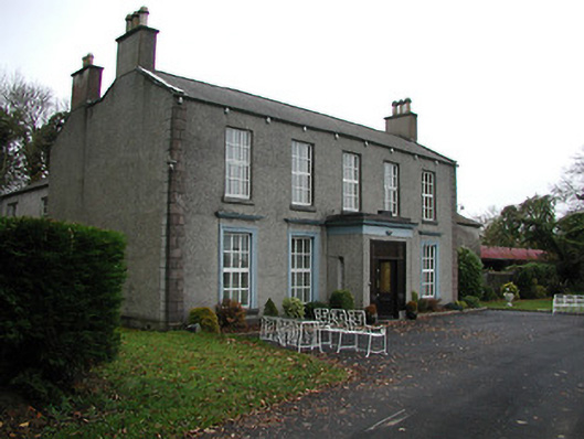 Farmleycountry house · 1627 yd
 Burnchurch CastleVisitor information · 1.0 mi
 Bawn in Newtown (baker)Bawn · 1.5 mi
 TowerHouse, fortified house · 1.9 mi
 Lacken WellSpring · 2.1 mi
 Kells Priory Mill MuseumMuseum · 2.3 mi
 Famous Horses of KellsMemorial · 2.4 mi
 Kells Loop WalkWalking route · 2.5 mi
 GreatwoodForest · 2.7 mi