
What is recorded here
In tillage but the location had been under woodland in the 19th and 20th-century. A roughly circular enclosure (diam. c. 32m N-S; c. 37m E-W), defined by a fosse, identified as a cropmark on Google Earth Pro imagery (imagery date 17 June 2017) by Jean-Charles Caillère.
See attached photograph:
KK023-170----_01 Image ©2019 CNEW/Airbus: Google Earth Pro satellite imagery (14 July 2018)
Compiled by: Jean Farrelly
Date of upload: 7 January 2020
The monument record does not grant public access. Check the route and ask the landowner before entering private land.
- What survives
- Recorded monument
Places near here
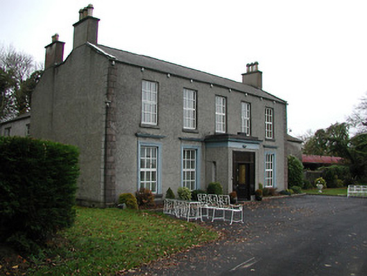 Farmleycountry house · 250 yd
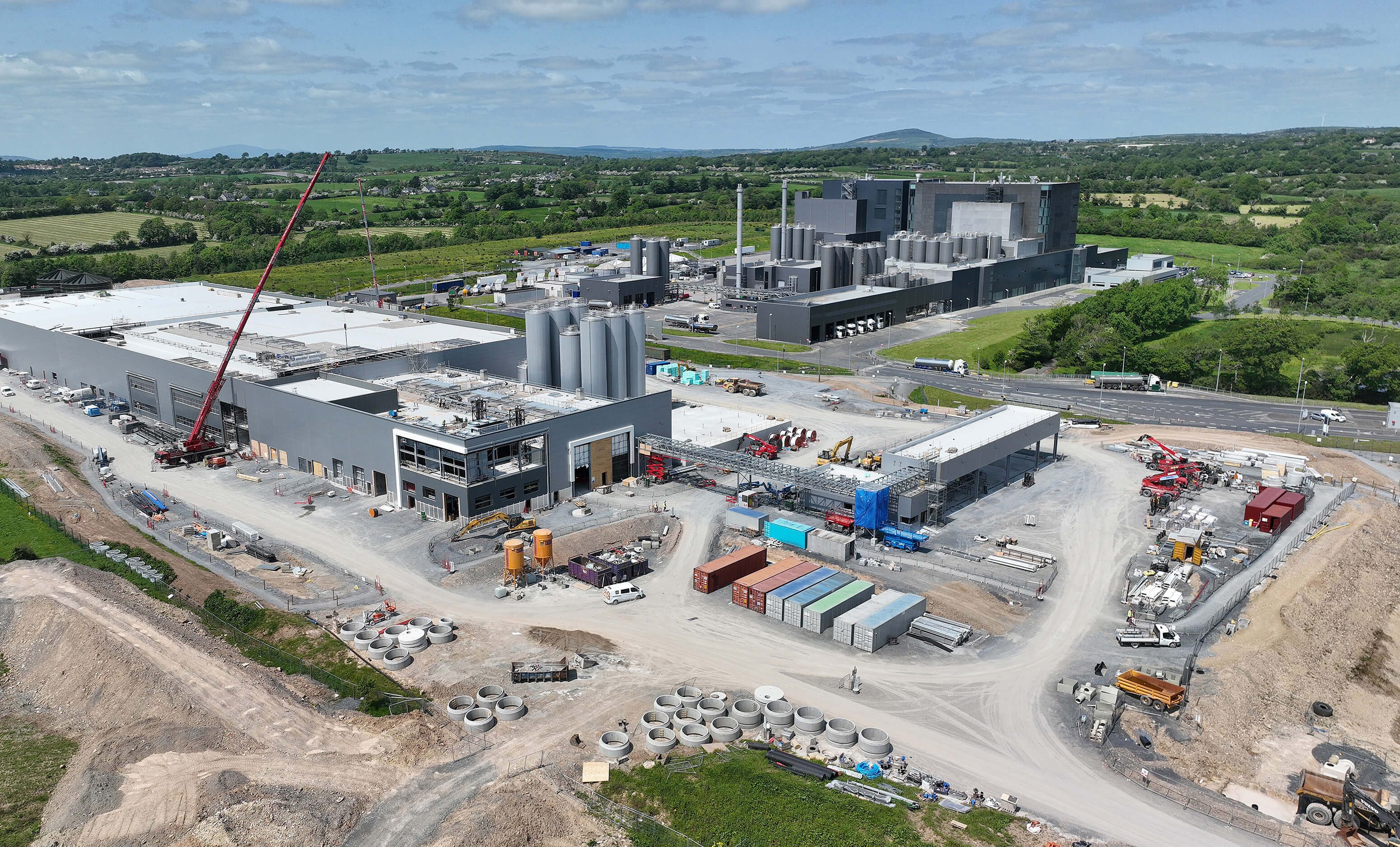 Enclosure in CoalsfarmEnclosure · 971 yd
 Burnchurch CastleVisitor information · 985 yd
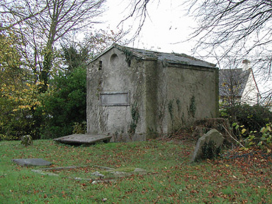 Burnchurch Churchmausoleum · 988 yd
 St. Dallans WellHoly well · 1652 yd
 Ballybur CastleCastle, tower house · 1.3 mi
 CastleCastle, unclassified · 1.9 mi
 GreatwoodForest · 2.4 mi
 Lacken WellSpring · 2.6 mi
 Kells Priory Mill MuseumMuseum · 2.9 mi
 Pedunculate OakPedunculate Oak · 2.9 mi
 Famous Horses of KellsMemorial · 3.0 mi
Other information
Photo: Credit not shown in the picture search · Rights wording not checked; contact us if this picture should be removed