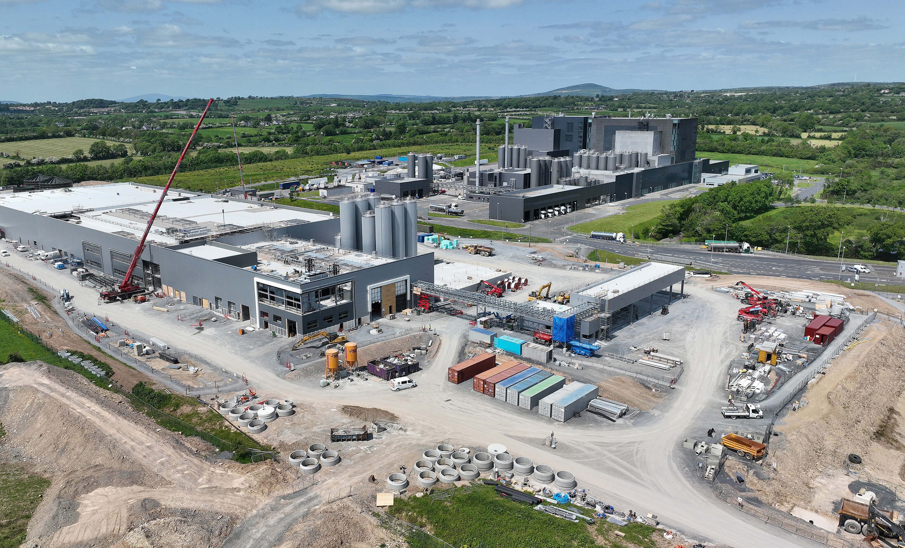
What is recorded here
In pasture. A circular enclosure (overall diam. c. 50m) indicated on the 1st (1839) ed. OS 6-inch map and on the 1947 revision. On the latter map the enclosure is defined by scarp and an outer fosse from E-S-W. A field boundary runs ENE-WSW along the S perimeter of the enclosure. The monument has subsequently been levelled but the fosse is visible on satellite imagery (Digitalglobe, viewed 23 August 2021).
Compiled by: Jean Farrelly
Date of upload: 23 August 2021
A local fairy fort (ringfort/rath); wider significance not recorded.
The monument record does not grant public access. Check the route and ask the landowner before entering private land.
- What survives
- Recorded monument
Places near here
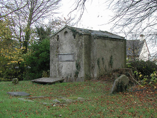 Burnchurch Churchmausoleum · 566 yd
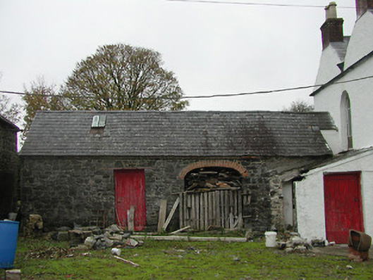 Burnchurch Housefarmyard complex · 589 yd
 Burnchurch CastleVisitor information · 652 yd
 Enclosure in FarmleyEnclosure · 971 yd
 IndicatedEnclosure · 1666 yd
 Ballybur CastleCastle, tower house · 1.6 mi
 CastleCastle, unclassified · 1.9 mi
 Lacken WellSpring · 2.1 mi
 Kells Priory Mill MuseumMuseum · 2.3 mi
 Famous Horses of KellsMemorial · 2.5 mi
 GreatwoodForest · 2.9 mi
 Pedunculate OakPedunculate Oak · 3.3 mi
Other information
Photo: Credit not shown in the picture search · Rights wording not checked; contact us if this picture should be removed