What is recorded here
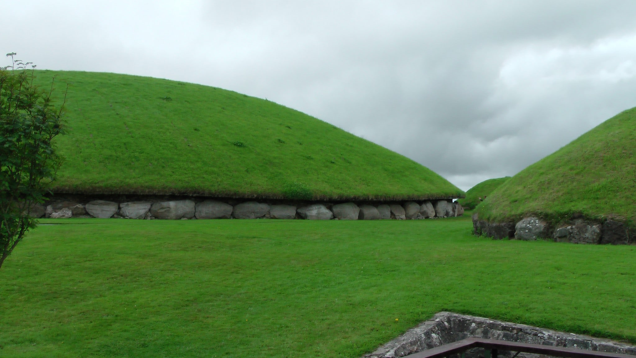
Towards the summit of a gradual NE-facing slope in undulating terrain. The field has been recently ploughed. The enclosure is marked on the 1st (1840) ed. 6-inch OS map as an irregular, roughly D-shaped enclosure and on the 2nd (1904-5) ed. OS 6-inch map as a D-shaped platform (diam. c. 32m N-S; c. 39m E-W) surrounded by a fosse. It is indicated as a D-shaped cropmark in a tillage field on aerial photograph (ASIAP (28) 19-20) with an indication of a possible internal feature. There is no visible trace of the monument above ground.
Compiled by: Jean Farrelly
Date of upload: 04 February 2014
This monument is subject to a preservation order made under the National Monuments Acts 1930 to 2014 (PO no. 5/1957).
This remains an important historical record, but the official description says the monument is no longer visible or has been destroyed. The monument record does not grant public access. Check the route and ask the landowner before entering private land.
- What survives
- No visible remains or recorded as destroyed
Places near here
 Man-made underground passage in GarryntempleMan-made underground passage · 365 yd
 Enclosure in NicholastownEnclosure · 586 yd
 Nicholastown Castle (in ruins)Castle, tower house · 1115 yd
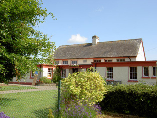 Grange National Schoolschool · 1.0 mi
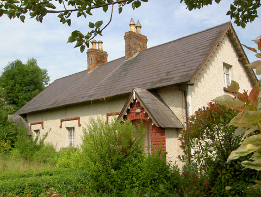 worker's houseworker's house · 1.1 mi
 DeerparkWood · 1.2 mi
 Marlfield Forest Recreation AreaWood · 1.5 mi
 Ballindoney Castle (in ruins)Castle, tower house · 1.8 mi
 Woodcock HillMountain / peak · 3.8 mi
 Grubb's IslandIslet · 4.5 mi
 Francis HopkinsMemorial · 4.6 mi
 John HackettMemorial · 4.6 mi
Other information
Photo: Credit not shown in the picture search · Rights wording not checked; contact us if this picture should be removed