What is recorded here
On the crest of a N-S ridge in undulating pastureland, land drops off to W. Farmyard located to E of ridge. Situated in close proximity to an enclosure (TS082-052002-) which lies approx. 28m to SW. Enclosure has been levelled but the W and S quadrants are still discernible by a slight scarp (H 0.23m) and shallow external fosse (Wth c. 2.8m; D 0.09m). The enclosure (diam. 29.4m NNW-SSE) is depicted on the 2nd (1904-5) ed. OS 6-inch map as a circular area (diam. c. 41m N-S; c. 40m E-W) with an external fosse in the S and W quadrants. The ground in this area has been disturbed, earth and rubble have been dumped in the E quadrant, the edge of which is not visible. It is visible on an aerial photograph (GSI May 1977, S. 687/6).
Compiled by: Jean Farrelly
Date of upload: 26 August 2011
The monument record does not grant public access. Check the route and ask the landowner before entering private land.
- What survives
- Recorded monument
Places near here
 Marlfield Forest Recreation AreaWood · 452 yd
 Enclosure in Barn Demesne (inishlounaght Par.)Enclosure · 1065 yd
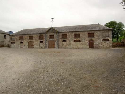 Marlfield Farmfarmyard complex · 1103 yd
 DeerparkWood · 1118 yd
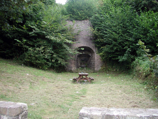 kilnkiln · 1350 yd
 CastleCastle, ringwork · 1380 yd
 Site of ChurchChurch · 1592 yd
 Castle, Kilmanahan CastleCastle, tower house · 1.6 mi
 Crusader's GraveHeritage attraction · 1.6 mi
 Kilmacomma HillMountain / peak · 2.0 mi
 Siege of Clonmelsiege · 3.0 mi
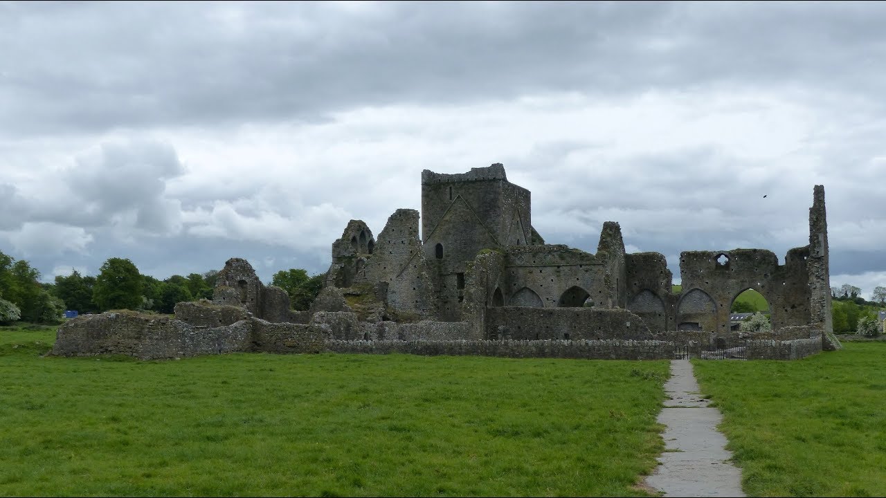 Gairdín Gharraí na LeadhbMemorial · 3.0 mi