What is recorded here
In flat terrain on valley floor, under grass. Enclosure is not marked on either 1st (1840) or 1901-05 ed. OS 6-inch map. Monument identified as circular cropmark (diam. c. 50m) on aerial photograph (CUCAP 19 July 1970 BDS 27). Enclosure is bisected along E quadrant by a field bank running N-S. NW quadrant is clearly visible as a very low, broad bank, sloping gradually over 8m to exterior. Drinking trough on top of bank in N quadrant, immediately W of field bank. Remaining outline of enclosure is not possible to determine.
Compiled by: Jean Farrelly
Date of upload: 26 August 2011
The monument record does not grant public access. Check the route and ask the landowner before entering private land.
- What survives
- Recorded monument
Places near here
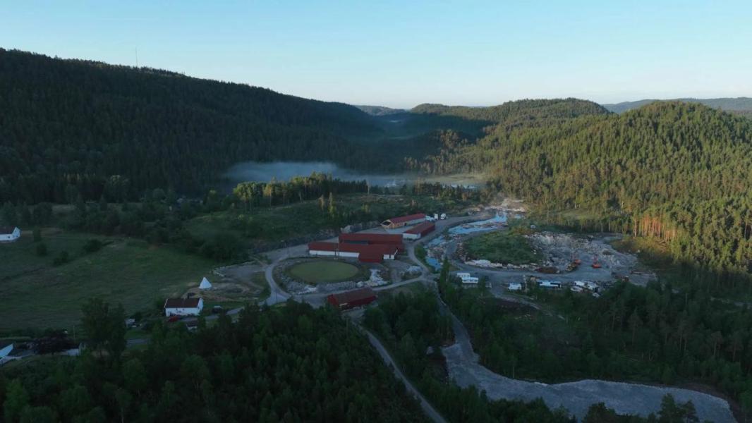 Enclosure in LissadoberEnclosure · 586 yd
 Wild CherryWild Cherry · 709 yd
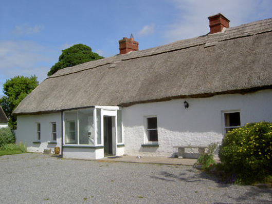 Ballynacloona Cottagehouse · 1027 yd
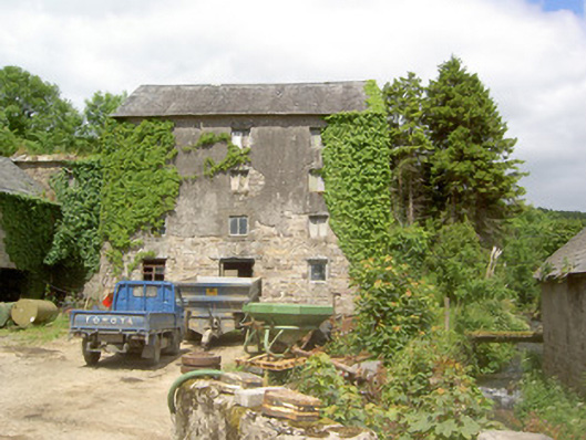 mill (water)mill (water) · 1106 yd
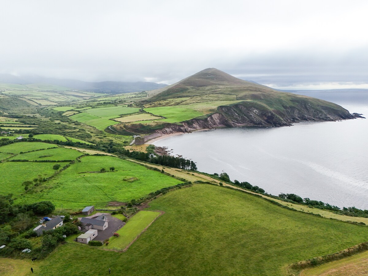 IndicatedEnclosure · 1552 yd
 Curraghdobbin HillMountain / peak · 1659 yd
 CastleCastle, ringwork · 1.4 mi
 Bawn in KilcashBawn · 1.5 mi
 Kilcash WoodForest · 1.5 mi
 Thomas KielyMemorial · 1.5 mi
 Carrigaloe RockNamed rock · 2.1 mi
 Carrigadoon HillMountain / peak · 3.0 mi