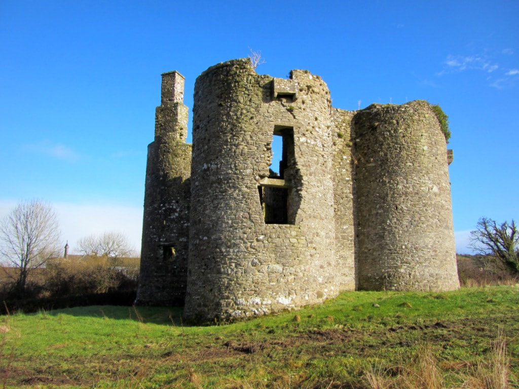
What is recorded here
In upland pasture, on a gently sloping terrace on a S-facing slope of the Bricklieve Mountains. Overlooked by the ridge summit to NW but excellent views over Lough Arrow to E. A D-shaped area (dims. 5.5m E-W) with a straight W side (L 7.7m N-S). The interior is enclosed N-S by a sod-covered stone bank (Wth 3m; int. H 0.5m; ext. H 0.8m) and on the straight W side by a field boundary. According to local tradition, this enclosure was used as a 'Mass site' during the Penal times while the surrounding area was used as children's burial ground (SL040-163004-) and an assembly site. A cashel (SL040-16301-) lies c. 20m to S.
The above description is derived from the published 'Archaeological Inventory of County Sligo' compiled by Ursula Egan, Elizabeth Byrne, Mary Sleeman with Sheila Ronan and Connie Murphy (Dublin Stationery Office, 2005).
Date of upload: 18 January 2008
The monument record does not grant public access. Check the route and ask the landowner before entering private land.
- What survives
- Recorded monument
Places near here
 CashelFairy fort / stone ringfort · 45 yd
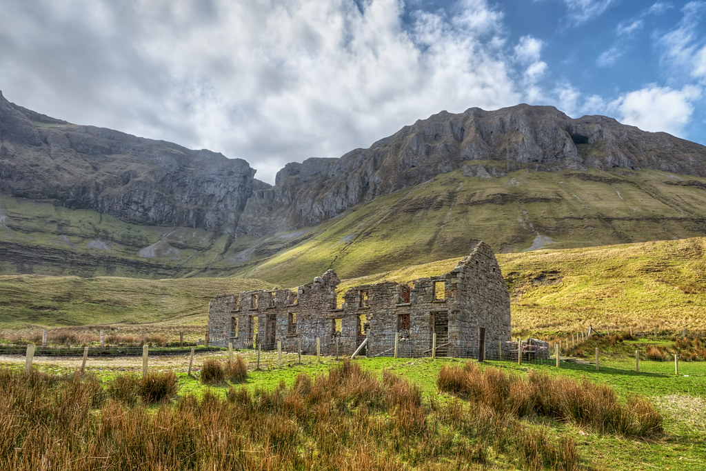 Indicated (1838).Fairy fort / stone ringfort · 303 yd
 Church in AghanaghChurch · 1275 yd
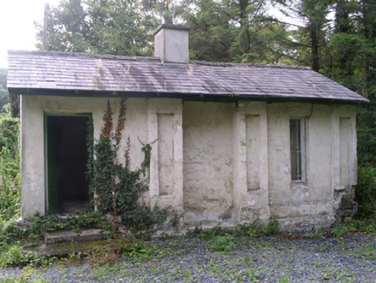 Hollybrook Housegate lodge · 1365 yd
 Ballinafad CastleCastle · 1425 yd
 Carricknahorna EastMountain / peak · 1.1 mi
 Muck IslandIslet · 1.5 mi
 Bricklieve MountainsMountain / peak · 1.8 mi
 MoatCastle, motte · 1.9 mi
 Loughbrick BayBay · 2.3 mi
 Treanscrabbagh caveCave · 2.3 mi
 InishmoreIslet · 2.4 mi
Other information
Photo: Credit not shown in the picture search · Rights wording not checked; contact us if this picture should be removed