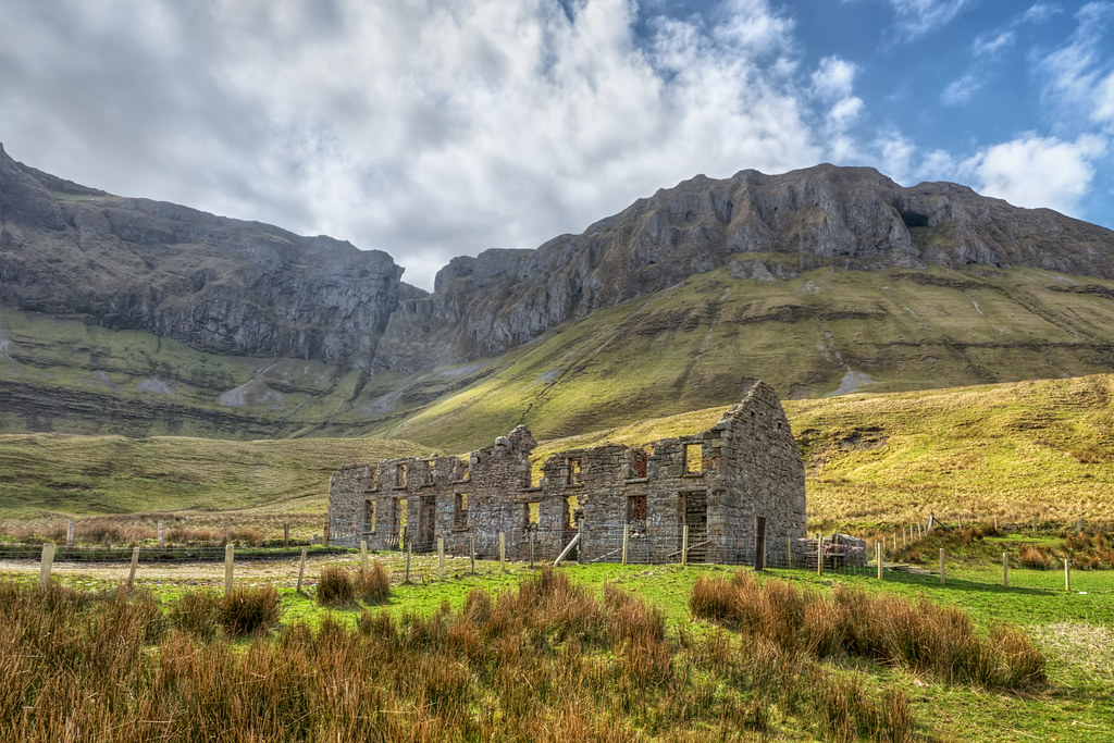
What is recorded here
In a strip of hazel woodland, located on a terrace on the E-facing slope of a NNW−SSE limestone ridge, on the lower E flank of the Bricklieve Mountains, overlooking Lough Arrow.
This cashel is shown on the 1837 OS 6-inch map, but not on the 1914 edition. It consists of a roughly circular area (c. 21m E−W; c. 19m N−S) defined by remnants of a stone wall. On the W arc, the wall consists of a substantial stone bank (Wth 2-2.5m; H 1.2m) of limestone boulders and large stones, which may incorporate field clearance stones. Elsewhere around the circuit, the wall is reduced to a low jumble (Wth 1.5-2m; H 0.3m) of moss-covered stones. On the E arc, the wall merges in a shallow curve with the natural break of slope of the terrace, where the ridge slope falls away steeply for several meters. Here the wall can be traced as a low, slumped scarp (Wth slope 1.5m; H 0.8-1m), covered with stone tumble.
The interior is split level, with the E third at a lower level. A low, gently slumped N−S stony scarp (Wth slope 1.5-2m; H 0.5-0.6m) marks the division between the two levels. Straddling this internal division is a Man-made underground passage (SL040-162001-), located in the SE quadrant of the interior. The visible remains of the Man-made underground passage consist of a simple length of passage (L c. 7-8m E−W) faced with drystone walling. No roofing slabs are evident. The E end of the passage projects to E of the N−S dividing scarp, and is banked up to compensate for the lower ground level.
A N−S field wall (Wth 0.6m; H 0.6m) extends across the W half of the cashel interior. The perimeter of the cashel is densely ringed with hazel trees, which grows in and on the moss-covered stones of the enclosing wall; hazel trees and dense pockets of brambles and undergrowth obscure much of the interior and the Man-made underground passage.
A possible cashel (SL040-247----) is located c. 200m to NW on the crest of the ridge, another cashel is located 240m to N, and two cashels (SL040-163001-; SL040-164----) and an enclosure (SL040-163004-) are located c. 300m to S towards the S end of the ridge.
Attached images:
SL040-162----_01: West side of cashel, viewed from NW
SL040-162----_02: Enclosing wall on W side of cashel, viewed from NE
SL040-162----_03: Enclosing wall on E side of cashel, viewed from N
Compiled by: Jane O’Shaughnessy
Date of upload: 11 June 2018
The monument record does not grant public access. Check the route and ask the landowner before entering private land.
- What survives
- Recorded monument
Places near here
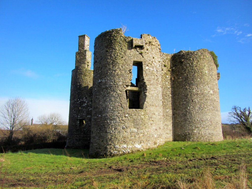 Enclosure in Cuilsheeghary BegEnclosure · 303 yd
 CashelFairy fort / stone ringfort · 343 yd
 Aghanagh Churchchurch/chapel · 1132 yd
 Hollybrook Housegate lodge · 1160 yd
 Ballinafad CastleCastle · 1728 yd
 Carricknahorna EastMountain / peak · 1.0 mi
 Muck IslandIslet · 1.4 mi
 Bricklieve MountainsMountain / peak · 1.7 mi
 MoatCastle, motte · 2.0 mi
 Treanscrabbagh caveCave · 2.2 mi
 Loughbrick BayBay · 2.2 mi
 InishmoreIslet · 2.3 mi
Other information
Photo: Credit not shown in the picture search · Rights wording not checked; contact us if this picture should be removed