What is recorded here
In rough pasture on bog, on a S-facing hillslope, overlooking Coomhola valley. A circular area (diam. 10m) is defined by the remains of a stone wall (T 0.6m; H 0.5m) protruding above the surface of the bog and is more clearly evident W-E. The interior slopes down to the S and the wall along the S arc is largely hidden in the bog. Relict field boundaries (CO091-023001-) are c. 60m to the NE and another enclosure (CO091-022----) lies c. 70m to the SSE.
The above description is derived from 'The Archaeological Inventory of County Cork. Volume 5' (Dublin: Stationery Office, 2009).
Date of upload: 22 December 2009
The monument record does not grant public access. Check the route and ask the landowner before entering private land.
- What survives
- Recorded monument
Places near here
 Enclosure in CarranEnclosure · 80 yd
 Field boundary in CarranField boundary · 83 yd
 Coomhola MountainMountain / peak · 1488 yd
 Coomhola Salmon Trust (Streamscapes)Museum · 1.2 mi
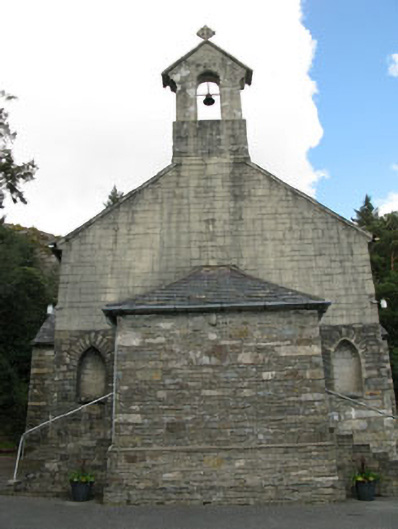 St. Joseph's Roman Catholic Churchchurch/chapel · 1.6 mi
 Rose Cottagehouse · 1.6 mi
 Daly's LoopWalking route · 1.7 mi
 The Priest's LeapMountain / peak · 2.0 mi
 The Priests LeapViewpoint · 2.0 mi
 Snave StrandBeach / strand · 2.4 mi
 Snave BayBay · 3.0 mi
 Chilean myrtleChilean myrtle · 3.1 mi