What is recorded here
In pasture, on a gentle S-facing slope. No visible surface trace of monument. Depicted on 1900-05 OS 6-inch map as circular enclosure (diam c. 18m) truncated slightly to E by roadway. Depicted on 1st ed. OS 6-inch map as similar, within small rectangular field. Roadway to E. Ringforts (TS068-055---- and TS068-0057----) c. 38m to S and c. 260m to ESE respectively.
Compiled by: Jean Farrelly
Date of upload: 26 August 2011
The monument record does not grant public access. Check the route and ask the landowner before entering private land.
- What survives
- Recorded monument
Places near here
 Boytonrath Church (in ruins)Church · 838 yd
 Boytonrath Castle (in ruins)Castle, unclassified · 848 yd
 Enclosure in Lagganstown UpperEnclosure · 1192 yd
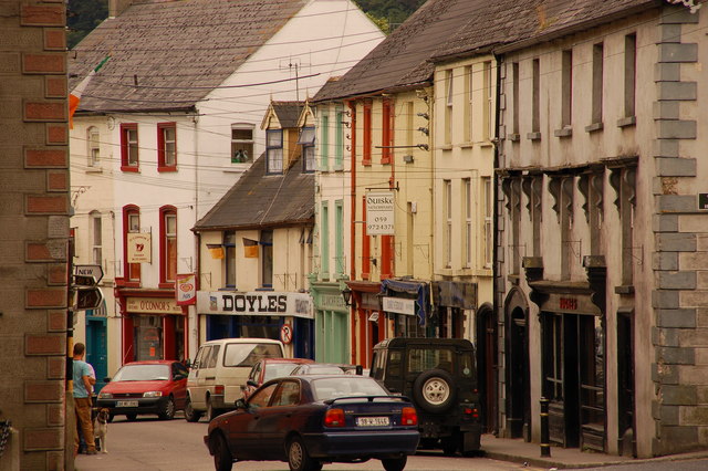 Bawn in Lagganstown UpperBawn · 1474 yd
 Field system in BallyslatteenField system · 1558 yd
 Dangandargan Church (in ruins)Church · 1619 yd
 Athassel PrioryHeritage attraction · 1.7 mi
 Caucasian zelkovaCaucasian zelkova · 4.5 mi
 Cappa WoodWood · 5.1 mi
 SturrakeenMountain / peak · 7.1 mi
 Laghtshanaquilla North-East TopMountain / peak · 7.7 mi
 I.R.A. 3rd. Tipperary Brigade MemorialMemorial · 8.3 mi