What is recorded here
In pasture, on a gentle NE-facing slope. Circular area (dims. 32m N-S; 30m E-W) depicted on latest edition OS 6-inch map. Remains of D-shaped area (dims. 26m N-S; 18m E-W) defined by levelled bank (int. H 0.05m; ext. H 0.4m; Wth 8m) NNW-SSE and no trace SSE-NNW. Straight side (long-axis c. NNW-SSE) is defined by ridge (int. H 0.85m; ext. H 0.5m; Wth 14.5m) which may either be straightened bank or a later field boundary, which bisects monument. Remains of interior to E incorporated into rest of field as pasture. Ringfort (TS071-029----) located 220m to NW and enclosure (TS071-031----) located 150m to ESE.
Compiled by: Jean Farrelly
Date of upload: 26 August 2011
The monument record does not grant public access. Check the route and ask the landowner before entering private land.
- What survives
- Recorded monument
Places near here
 Saint Mary's Catholic Churchchurch/chapel · 673 yd
 Templemichael Grave YardGraveyard · 936 yd
 Whitehall Bridgebridge · 950 yd
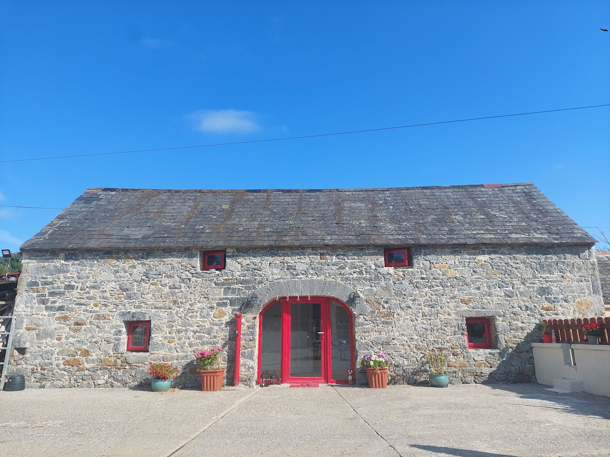 Enclosure in Bleenaleen UpperEnclosure · 967 yd
 CastleCastle, ringwork · 1.7 mi
 The SpoutMemorial · 1.8 mi
 Castle (in ruins)Castle, unclassified · 2.2 mi
 Curraghdobbin HillMountain / peak · 2.4 mi
 Killamery High CrossVisitor information · 2.6 mi
 KillameryVisitor information · 2.7 mi
 Wild CherryWild Cherry · 2.7 mi
 Carrigaloe RockNamed rock · 3.0 mi