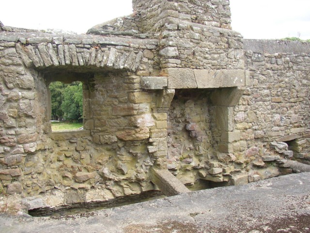
What is recorded here
Indicated as a sub-circular enclosure (dims. c. 47m N-S; c. 44m E-W) on the 1st (1839) ed. OS 6-inch map and as a circular enclosure (overall diam. c. 50m) on the 1899-1902 revision of this map. Springs are indicated c. 70m to the W and c. 90m to the NW.
Compiled by: Jean Farrelly
Date of upload: 27 September 2021
The monument record does not grant public access. Check the route and ask the landowner before entering private land.
- What survives
- Recorded monument
Places near here
 IndicatedEnclosure · 379 yd
 Ballynaboley Church (in ruins)Church · 510 yd
 Ballynaboley Castle (in ruins)Castle, tower house · 622 yd
 The ClahounForest · 902 yd
 Enclosure in Cloghala (gowran By., Bennettsbridge Ed)Enclosure · 965 yd
 The Pey FieldForest · 985 yd
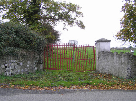 gates/railings/wallsgates/railings/walls · 1610 yd
 CastleCastle, motte · 1.4 mi
 Tullaherin Church and Round TowerVisitor information · 1.8 mi
 Kilbline GraveyardArchaeological place · 2.5 mi
 Time CapsuleMemorial · 2.9 mi
 Kilkenny AirsoftHeritage attraction · 4.0 mi
Other information
Photo: Credit not shown in the picture search · Rights wording not checked; contact us if this picture should be removed