
What is recorded here
This enclosure is situated in the northern corner of a field of improved pasture on the S slopes of Carrickgollogan, overlooking the Sugarloaf to the S. An aerial photograph taken in 1966 (CUCAP AOW 73) shows a cropmark sub-circular in shape (diam c. 30m). The enclosure is not visible at ground level.
Compiled by: Geraldine Stout and Padraig Clancy.
Revised upload on: 21 April 2018.
The monument record does not grant public access. Check the route and ask the landowner before entering private land.
- What survives
- Recorded monument
Places near here
 Carrickgollogan dolmen/wedge tombArchaeological place · 398 yd
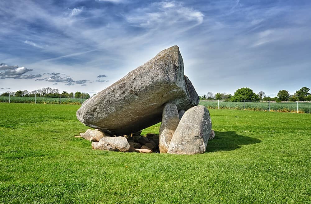 DolmenWedge tomb · 408 yd
 Carrickgollogan HillMountain / peak · 607 yd
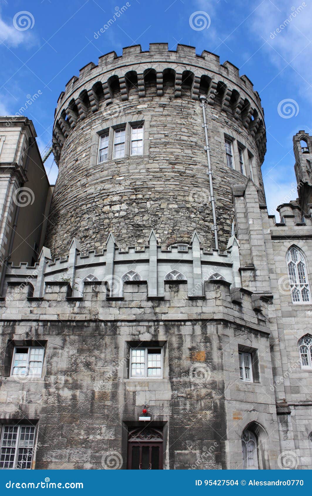 CastleCastle, tower house · 675 yd
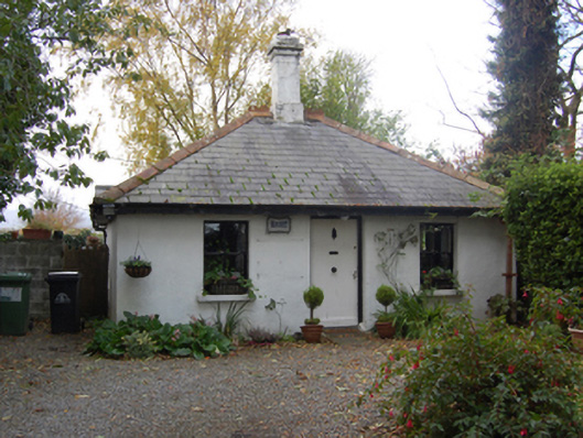 Ballyman Housegate lodge · 806 yd
 Phrompstown Housefarm house · 885 yd
 Graveyard in BallymanGraveyard · 1149 yd
 Barnaslingan - Pine loop trailWalking route · 1578 yd
 Barnaslingan - Scalp Lookout TrailWalking route · 1700 yd
 Barnaslingan HillMountain / peak · 1.0 mi
 Ballycorus castle Site ofCastle, tower house · 1.2 mi
 Stone PineStone Pine · 1.8 mi
Other information
Photo: Credit not shown in the picture search · Rights wording not checked; contact us if this picture should be removed