What is recorded here
This is the record for a monument identified by The Discovery Programme, from medium-altitude aerial photographs taken in 1986 [see Doody, M. (2008) The Ballyhoura Hills Project, Discovery Programme Monograph No 7, Wordwell, pp 65-100]. The reference for this monument is LI023: Bruff 16301: AP 4/3693.
The monument record does not grant public access. Check the route and ask the landowner before entering private land.
- What survives
- Recorded monument
Places near here
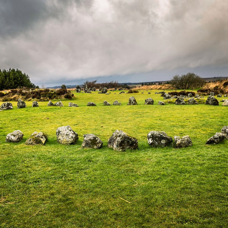 BarrowBarrow, ring-barrow · 272 yd
 Enclosure in BallyblakeEnclosure · 593 yd
 BoherleagaunRoad, road/trackway · 685 yd
 Ballybricken Court (in ruins)Castle, tower house · 735 yd
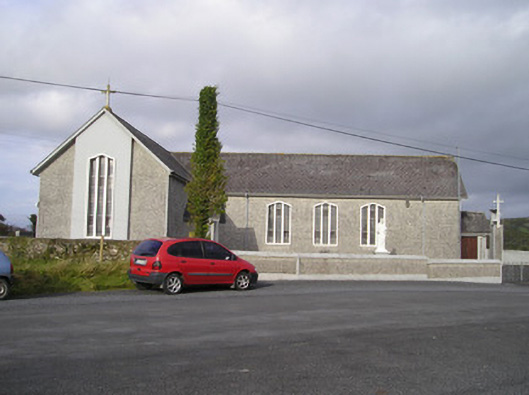 Saint Ailbe's Catholic Churchchurch/chapel · 1043 yd
 Caherelly CastleCastle · 1.2 mi
 Banoge's WellSpring · 1.5 mi
 Skool HillMountain / peak · 1.7 mi
 Villiers WellSpring · 4.9 mi
 Kilteely HillMountain / peak · 5.6 mi
 Flat cemetery in Knockainy WestFlat cemetery · 6.6 mi
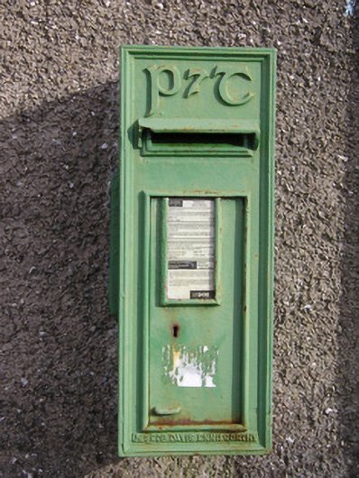 post boxpost box · 1159 yd