What is recorded here
In improved, level pasture. Not visible at ground level but clearly visible as a cropmark on an aerial photograph (ASIAP (311) 18-20, 13 September 2009) with two rings or fosses, suggesting it was a bivallate monument originally. It is depicted on the 1840 edition OS 6-inch map as a circular enclosure and on the 1904 edition as a penannular enclosure (dims. c. 45m NE-SW; c. 35m NW-SE) defined by a bank from SE-NE and open (Wth c. 30m) to the E.
Compiled by: Jean Farrelly
Date of upload: 26 August 2011
The monument record does not grant public access. Check the route and ask the landowner before entering private land.
- What survives
- Recorded monument
Places near here
 DunnasgiathChurch · 549 yd
 Rathvallygoney FortFairy fort / earthen ringfort · 920 yd
 Enclosure in Ballintemple (ballintemple Par.)Enclosure · 1044 yd
 Site of CastleCastle, unclassified · 1073 yd
 Church in Ballintemple (ballintemple Par.),dundrumChurch · 1469 yd
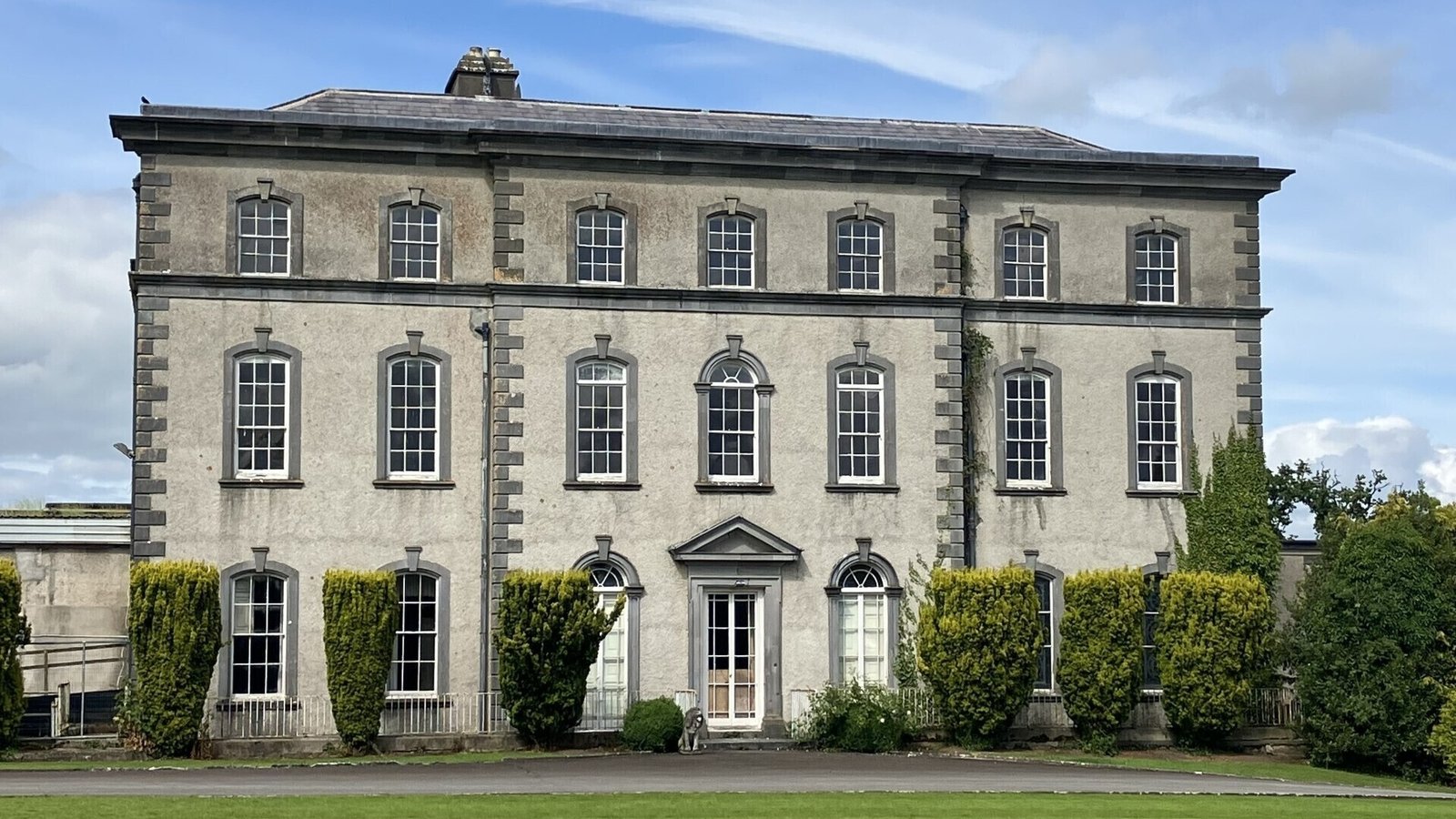 IndicatedCastle, ringwork · 1513 yd
 Dundrum Woods (Marl Bog)Forest · 1.8 mi
 European ashEuropean ash · 2.1 mi
 Soloheadbeg Ambushambush · 4.6 mi
 Soloheadbeg Ambush SiteMemorial · 4.9 mi
 I.R.A. 3rd. Tipperary Brigade MemorialMemorial · 5.2 mi
 It's a long way to TippereryHeritage attraction · 5.8 mi