What is recorded here
Situated on gently undulating grassland with poorly drained rushy land in the vicinity. Ringfort (WM010-005---) 120m to SE. Depicted on the 1837 ed. OS 6-inch map as a circular shaped enclosure. Present remains consist of a slightly raised circular shaped area (diam. 26m N-S) enclosed by a poorly preserved bank and slight external fosse. The site has been partially levelled. The bank is visible only as a smooth scarp from N-E-SSW and the external fosse is visible from ENE-E-ESE only. The interior slopes from W-E and has traces of low broad cultivation ridges which run WNW-ESE. A possible standing stone (WM010-004001-) is visible in the S quadrant of the interior. Outline of levelled enclosure visible on Digital Globe aerial photograph taken November 2011.
See attached profile of monument surveyed and drawn by the ASI.
Compiled by: Frank Coyne and Caimin O'Brien
Date of upload: 7 June 2017
The monument record does not grant public access. Check the route and ask the landowner before entering private land.
- What survives
- Recorded monument
Places near here
 Hachured, RathduffFairy fort / earthen ringfort · 703 yd
 Bawn in EmperBawn · 716 yd
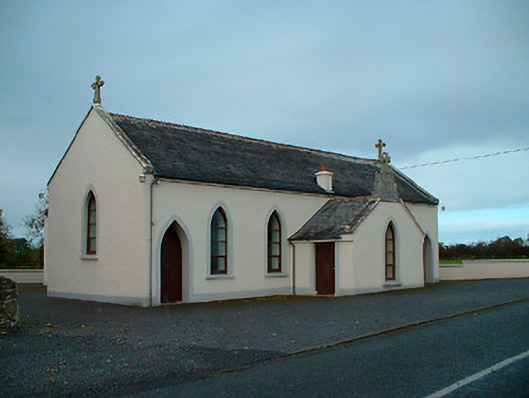 Saint Matthew's Catholic Churchchurch/chapel · 1655 yd
 OutlinedHoly well · 1666 yd
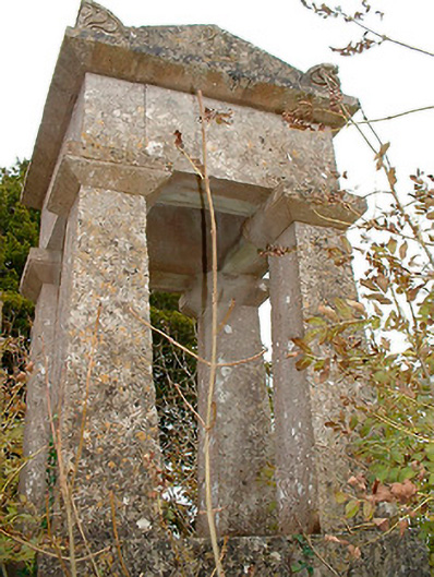 graveyard/cemeterygraveyard/cemetery · 1.2 mi
 Site of CastleCastle, unclassified · 1.3 mi
 Common AlderCommon Alder · 1.8 mi
 ShawbrookForest · 1.8 mi
 Abbeyshrule AbbeyRuins · 3.5 mi
 Graveyard in Curry (ardagh By., Coolamber Ed)Graveyard · 12 mi
 First World War MemorialMemorial · 12 mi
 Saint Mel's CathedralCathedral · 12 mi