What is recorded here
Top of a hill in Bawnmore North, a heart-shaped earthwork still stands with inner and outer banks, a D-shaped chamber, radial ridges, a small circular hollow, a raised square platform, and an entrance aligned to Kilmacoo church and graveyard. Local story names it Cill-ma-cu and credits St Carthage, son of Cu, with founding a little settlement there. The shape suggests a place made for living, worship and memory rather than ordinary farming, with paths and rooms still readable beneath grass and age.
In pasture, atop hill. Roughly heart-shaped area (210m NE-SW; 170m NW-SE) enclosed by inner earthen bank (int. H 1.5m; ext. H 2.9m to base of fosse) with intervening fosse, shallow NNE->W; outer bank (int. H 1.65m; ext. H 1.2m) W->NNE (top of heart shape); shallow external fosse (D 0.2m) to NNW. In interior is roughly D-shaped enclosure (straight side c. 100m ENE-WSW; projecting c. 100m to SSE) concentric with main enclosure ENE->SW; defined by low earthen bank (int. H 0.4m; ext. H 0.6m), except for E half of linear side, indicated on 1842 OS 6-inch map, but now levelled; shallow external fosse evident to ESE and WSW->W. Seven radial earthen banks (H 0.4m-1.55m) connect inner enclosure with main outer earthworks. Radial line on W side consists of two parallel earthen banks (5.4m apart) at E end, with only S bank continuing W after short gap, stopping short of small circular enclosure which lies a short distance inside main enclosing bank. Enclosure consists of circular area (9.65m NW-SE; 9.45m N-S) defined by heavily overgrown, earthen bank (int. H 0.65m; ext. H 0.7m); interior saucer shaped; loose stone scattered across site. Radial bank to NE stops short of roughly square platform, which lies immediately inside main enclosing defences. Platform (17m E-W; 16m N-S) raised 1.05m above surrounding ground level; interior enclosed by earthen bank (int. H 0.8m; ext. H 1.5m) at SE corner and along S side. Off-centre to W of inner enclosure is site of Kilmacoo church (14398) and graveyard (14546), which probably formed 'an additional original internal division of the site' (Hurley 1983, 61). Entrance of main enclosure is to SSE, flanked by stone pillars and joined to entrance of graveyard by two parallel linear earthen banks (H 0.4m-0.6m) with external fosses; banks 8.1m apart. Break in inner bank of main defences to N; stile across outer bank at this point; this break allows access from enclosure to holy well (13973), c. 110m to NNW. Possible Man-made underground passage (13338) in interior. According to MacCarthaigh (1975, 54), locally called 'Cill-ma-cu' and it is said that St Carthage, who was son of Cu, founded a 'little settlement' here.
The above description is derived from the published 'Archaeological Inventory of County Cork. Volume 4: North Cork' (Dublin: Stationery Office, 2000). In certain instances the entries have been revised and updated in the light of recent research.
Date of upload/revision: 14 January 2009
The monument record does not grant public access. Check the route and ask the landowner before entering private land.
- What survives
- Recorded monument
Places near here
 Kilmacoo Church (Site of)Church · 6 yd
 Grave YardGraveyard · 12 yd
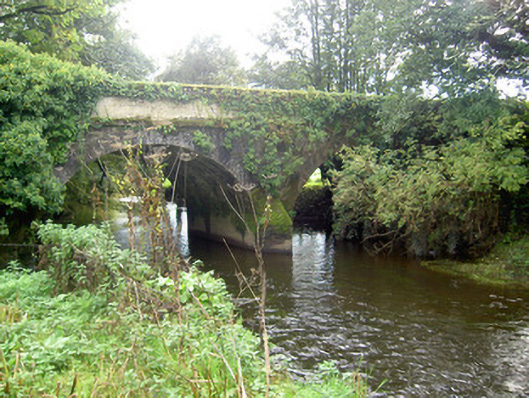 John's Bridgebridge · 1.2 mi
 Catholic ChurchChurch · 1.4 mi
 Stanner's Glen, Priory WoodWood · 2.0 mi
 Carrig Castle (Site of)Castle, unclassified · 2.0 mi
 Hanna SheehyMemorial · 4.1 mi
 Ballyheen Castle (Site of)Castle, unclassified · 4.7 mi
 Battle of LiscarrollMajor battlefield · 5.0 mi
 Kanturk CastleHeritage attraction · 5.1 mi
 Burial ground in AssolasBurial ground · 5.4 mi
 European YewEuropean Yew · 5.5 mi