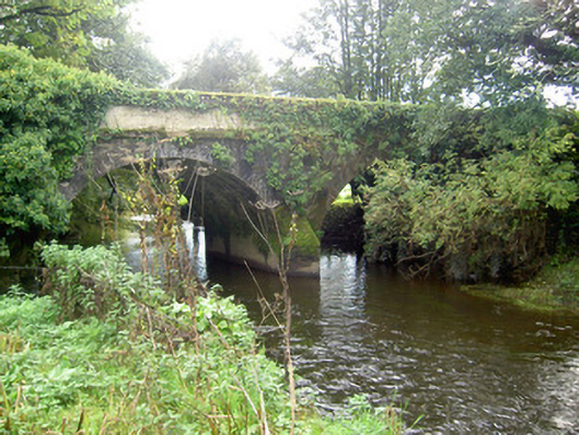
What is recorded here
Double-arch sandstone road bridge over River Allow, built c. 1810, having rendered parapet walls with render copings, render string course to each elevation above segmental arches with render voussoirs, and with V-cutwater to south elevation.
John's Bridge is a well-designed structure, indicative of the skill of early nineteenth-century craftsmen. The segmental arches form a strong silhouette in the landscape. The cutwater adds decorative interest to the south elevation and the rendered voussoirs, set against rubble sandstone walls, add textural interest to the bridge.
This does not grant access. Most recorded buildings are privately owned; view them only from public ground unless the owner allows entry.
Places near here
 KilnKiln, lime · 651 yd
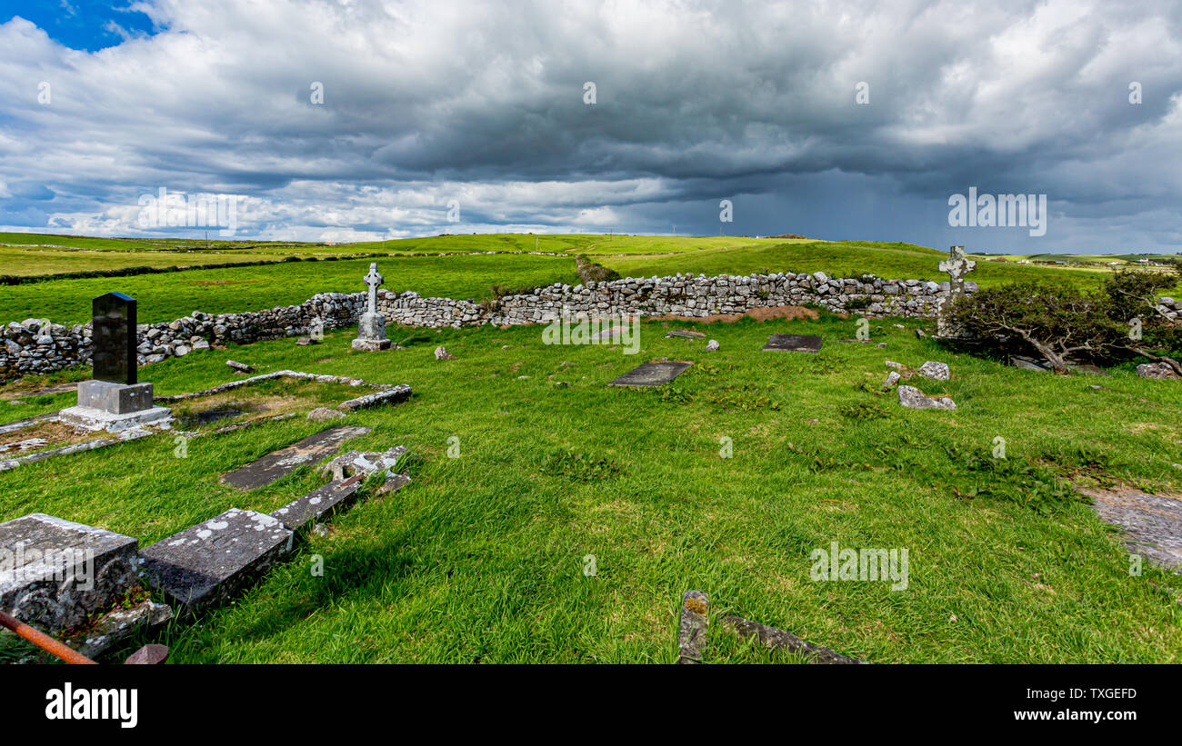 Killeenuna Burial Gd (Disused)Burial ground · 1132 yd
 Fulacht FiadhFulacht fia · 1465 yd
 IndicatedKiln, lime · 1.6 mi
 Stanner's Glen, Priory WoodWood · 3.1 mi
 Carrig Castle (Site of)Castle, unclassified · 3.3 mi
 Battle of LiscarrollMajor battlefield · 3.9 mi
 Liscarroll CastleCastle · 3.9 mi
 Hanna SheehyMemorial · 4.1 mi
 Burial ground in AssolasBurial ground · 4.7 mi
 European YewEuropean Yew · 4.8 mi
 Kanturk CastleHeritage attraction · 5.0 mi
Other information
Photo: National Inventory of Architectural Heritage · Website use allowed for educational or private purposes with source credit