What is recorded here
Sally Island is a submerged crannog in Ballaghdacker Lough, County Galway. It is a circular earthen platform twenty-eight metres across and one and three-quarter metres high. A curving causeway still links the island to the northern shore. The platform is overgrown but the shape remains clear beneath the water. The causeway suggests the island was reached on purpose, not discovered by chance. A second possible crannog lies about one hundred metres to the south. The lough may have held more than one wet-home when people still built roads into water.
In Ballaghdacker Lough close to N shore. An overgrown circular earthen platform (D 28m, H 1.75m). A curving causeway connects the monument to N shore of the lake. A possible crannog (GA020-001----) lies c. 100m to S.
The above description is derived from the published 'Archaeological Inventory of County Galway Vol. II - North Galway'. Compiled by Olive Alcock, Kathy de hÓra and Paul Gosling (Dublin: Stationery Office, 1999).
Date of upload: 05 August 2010
The monument record does not grant public access. Check the route and ask the landowner before entering private land.
- What survives
- Recorded monument
Places near here
 Sally IslandIslet · 44 yd
 Stony IslandCrannog · 193 yd
 Carrigeen ChurchChurch · 758 yd
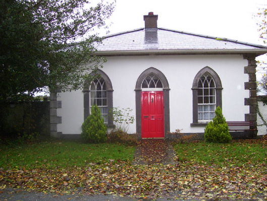 Rookwoodgate lodge · 1.4 mi
 Site of Abbey GreyEcclesiastical site · 1.4 mi
 Castle KellyCastle, tower house · 1.9 mi
 CastleHouse, fortified house · 2.0 mi
 Aughrane WoodsForest · 2.1 mi
 Mount MaryMountain / peak · 2.7 mi
 European YewEuropean Yew · 3.4 mi
 Site of Killomaine Grave YardArchaeological place · 7.6 mi
 Inch IslandIsland · 8.2 mi