
What is recorded here
In flat grassland to E of Ballaghdacker Lough; it is situated in a small triangular graveyard defined by an earthen bank. All that survives are the wall foundations of a very poorly preserved rectangular church (WNW-ESE; L 16.25m, Wth 6.8m). No architectural features are visible.
The above description is derived from the published 'Archaeological Inventory of County Galway Vol. II - North Galway'. Compiled by Olive Alcock, Kathy de hÓra and Paul Gosling (Dublin: Stationery Office, 1999).
Date of upload: 05 August 2010
A local church or high cross; wider significance not recorded.
The monument record does not grant public access. Check the route and ask the landowner before entering private land.
- What survives
- Recorded monument
Places near here
 Sally IslandIslet · 732 yd
 Stony IslandCrannog · 784 yd
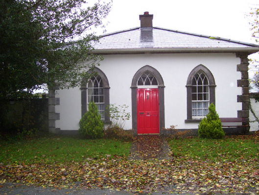 Rookwoodgate lodge · 1710 yd
 Rookwood Bridgebridge · 1.1 mi
 LisdooArchaeological place · 1.6 mi
 CastleHouse, fortified house · 1.7 mi
 Castle KellyCastle, tower house · 1.9 mi
 Aughrane WoodsForest · 2.1 mi
 Mount MaryMountain / peak · 3.1 mi
 European Crab AppleEuropean Crab Apple · 3.3 mi
 Inch IslandIsland · 7.9 mi
 Site of Killomaine Grave YardArchaeological place · 8.0 mi
Other information
Photo: Credit not shown in the picture search · Rights wording not checked; contact us if this picture should be removed