What is recorded here
In reclaimed grassland. Cropmark of circular-shaped area (diam. c. 35m) defined by a ditch visible on Google Earth orthoimage taken 24/03/2017. Faint outline of earthwork visible on Digital Globe orthophoto taken between 2011-13.
See attached Google Earth orthophoto
Compiled by: Caimin O'Brien based on details provided by Jean-Charles Caillère
Date of upload: 19 July 2022
The monument record does not grant public access. Check the route and ask the landowner before entering private land.
- What survives
- Recorded monument
Places near here
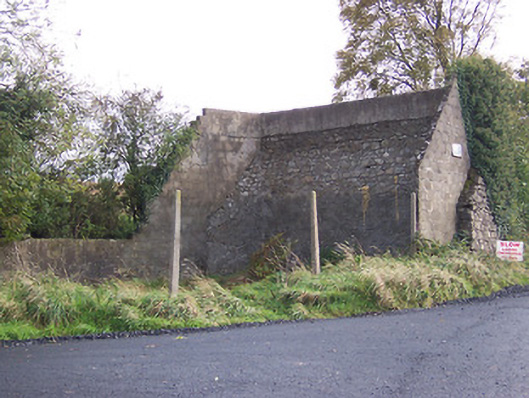 handball alleyhandball alley · 386 yd
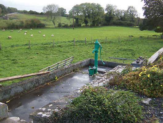 water pumpwater pump · 504 yd
 Parially HachuredFairy fort / ringfort · 912 yd
 CrossCross, Wayside cross · 1047 yd
 Hilltown Castle (in ruins)Castle, tower house · 1405 yd
 European BeechEuropean Beech · 1.7 mi
 CastleCastle, unclassified · 1.8 mi
 Mullaghmeen ForestPicnic place · 2.6 mi
 Seafin HillMountain / peak · 3.0 mi
 European ashEuropean ash · 3.2 mi
 Rock of CurryCliff · 3.6 mi
 Zip WireHeritage attraction · 4.2 mi