What is recorded here
Situated on a level landscape with a WNW-ESE section of a canalised stream c. 50m to the S. It is represented on the 1836 edition of the OS 6-inch map as a circular embanked enclosure (ext. diam. c. 25m) where it is described as a ‘Fort’ and as a hachured feature on the 1912 edition. This is an oval, flat-topped mound (dims of base c. 28m NW-SE; c. 14m NE-SW; H 0.7m) that was overgrown with blackthorn bushes in 1969 (SMR file). The blackthorn had been removed by 1995 (OSAP).
The above description is derived from the published 'Archaeological Inventory of County Meath' (Dublin: Stationery Office, 1987). In certain instances the entries have been revised and updated in the light of recent research.
Compiled by: Michael Moore
Date of revision: 8 July 2019
The monument record does not grant public access. Check the route and ask the landowner before entering private land.
- What survives
- Recorded monument
Places near here
 EnclosureEnclosure, large enclosure · 70 yd
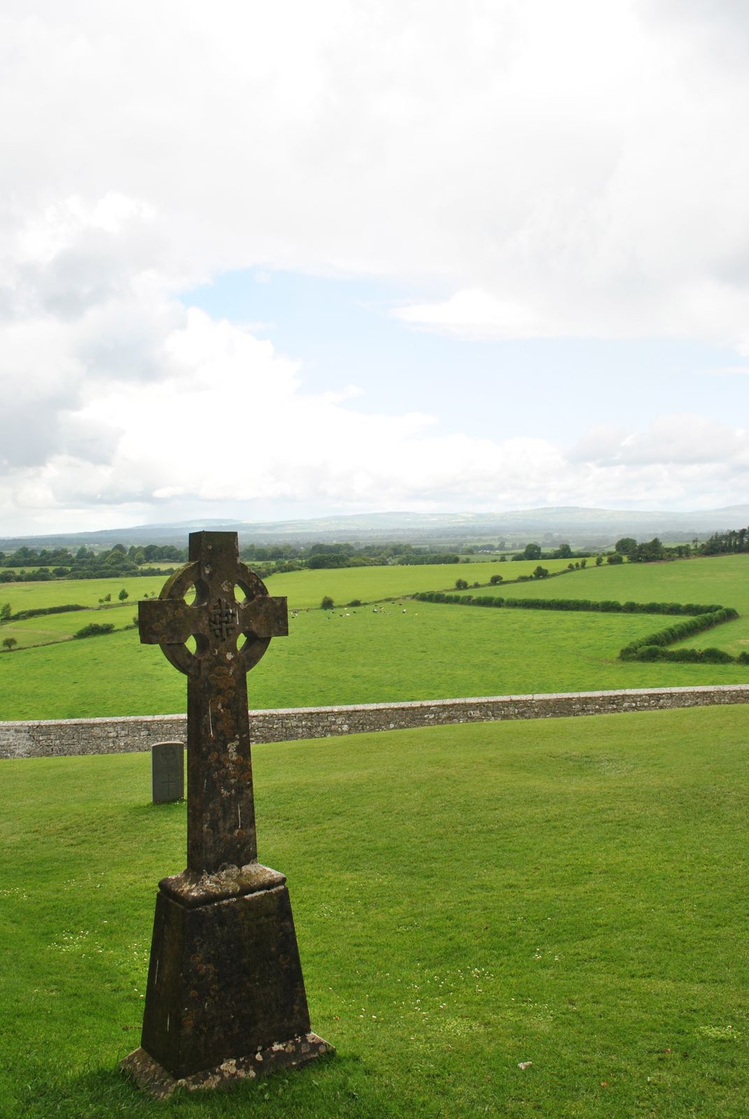 Cross in KillaconniganCross · 1250 yd
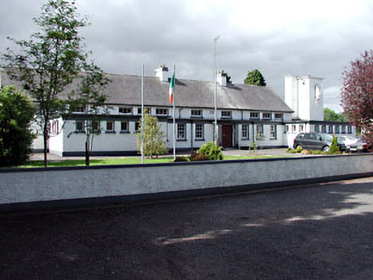 Saint Columbanus's National Schoolschool · 1.1 mi
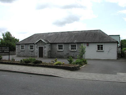 Ballivor National Schoolschool · 1.1 mi
 Carrantstown CastleCastle, unclassified · 1.3 mi
 ScregganWood · 1.7 mi
 MoatCastle, motte and bailey · 2.1 mi
 European BeechEuropean Beech · 4.0 mi
 FraineMountain / peak · 5.3 mi
 Croppies' GraveMemorial · 6.4 mi
 Cloncurry GraveyardHeritage attraction · 11 mi
 The New Line RoadMemorial · 12 mi