
What is recorded here
Three structures at Carranstowne (15) in Killaconican parish are depicted on the Down Survey (1656-8) barony map of Lune (http://downsurvey.tcd.ie/). According to the Civil Survey (1654-6) Michell Rochford owned 160 acres there in 1640 including ‘an Ould Ruinated Castle’ (Simington 1940, 202). Within the same parish he also owned 60 acres at Robinstown, 113 acres at Clonegrany and 70 acres at Killballiver, and he had a share in 710 acres at Culronan with three others (ibid. 199-203). Carranstown Castle is depicted as the SW corner of a building on the 1836 ed. of the OS 6-inch map, and it is situated in a level landscape. It is now a subcircular, grass-covered cairn (dims 35m E-W; 30m N-S; H 1.5m). There are old drainage ditches in the surrounding field.
The above description is derived from the published 'Archaeological Inventory of County Meath' (Dublin: Stationery Office, 1987). In certain instances the entries have been revised and updated in the light of recent research.
Compiled by: Michael Moore
Date of revision: 9 June 2016
Carrantstown Castle was held by Michell Rochford in the mid-17th century, as recorded in the Civil Survey of 1654-6. It is remembered for its inclusion in historical land surveys, providing insight into land ownership and settlement patterns in 17th-century Ireland.
The monument record does not grant public access. Check the route and ask the landowner before entering private land.
- What survives
- Recorded monument
Places near here
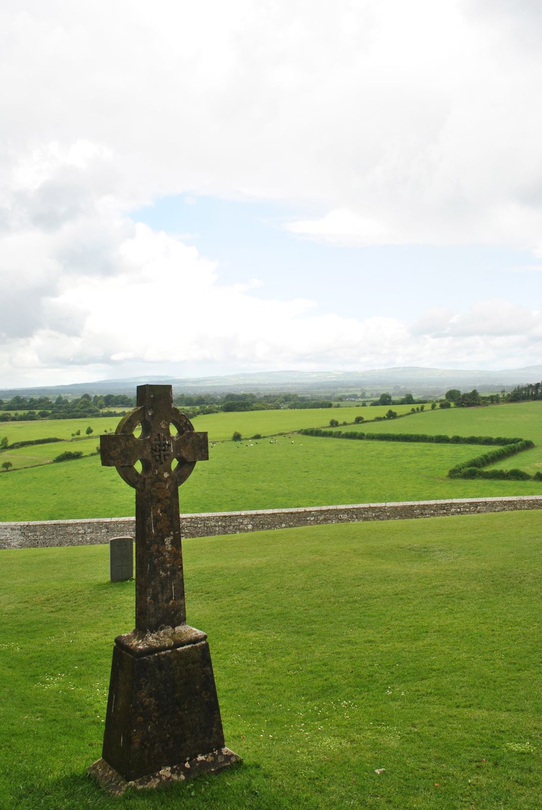 Cross in KillaconniganCross · 1319 yd
 MoatCastle, motte and bailey · 1466 yd
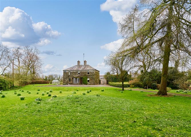 Enclosure in CrossanstownEnclosure · 1.0 mi
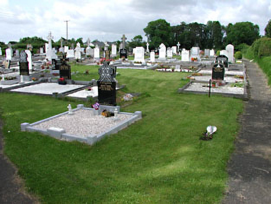 graveyard/cemeterygraveyard/cemetery · 1.0 mi
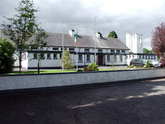 Saint Columbanus's National Schoolschool · 1.1 mi
 ScregganWood · 2.1 mi
 Portlester Ho.Castle, unclassified · 2.3 mi
 FraineMountain / peak · 3.9 mi
 European BeechEuropean Beech · 4.6 mi
 Croppies' GraveMemorial · 7.6 mi
 The New Line RoadMemorial · 11 mi
 BohermeenMountain / peak · 11 mi
Other information
Photo: Credit not shown in the picture search · Rights wording not checked; contact us if this picture should be removed