
What is recorded here
Situated on a level landscape with a W-E section of a canalised stream c. 60m to the S. It is not depicted on any edition of the OS map but is visible as a feature on aerial photographs (GSIAP: N 149, 150) and later series. This is a large grass-covered area (diam. c. 80-85m) defined by an earthen bank (Wth of base c. 3m; int. H 0.3-0.4m; ext. H 0.8-0.9m) and outer fosse (Wth of top 3-4m; ext. D 0.2-0.3m). There is an entrance (Wth of base 4.5m) at SE. The perimeter is slightly truncated by an ENE-WSW field bank at N and it is reduced to a scarp NNE-ESE. The interior is cut by a NNW-SSE silted field drain W of the centre. Earthwork (ME035-012----) is c. 10m to the SE, but a shapeless piece of limestone (dims c. 1.5m x c. 1m; T c. 0.5m) with numerous solution holes is not a bullaun stone (Moore 1987, No. 868).
The above description is derived from the published 'Archaeological Inventory of County Meath' (Dublin: Stationery Office, 1987). In certain instances the entries have been revised and updated in the light of recent research.
Compiled by: Michael Moore
Date of revision: 5 July 2019
The monument record does not grant public access. Check the route and ask the landowner before entering private land.
- What survives
- Recorded monument
Places near here
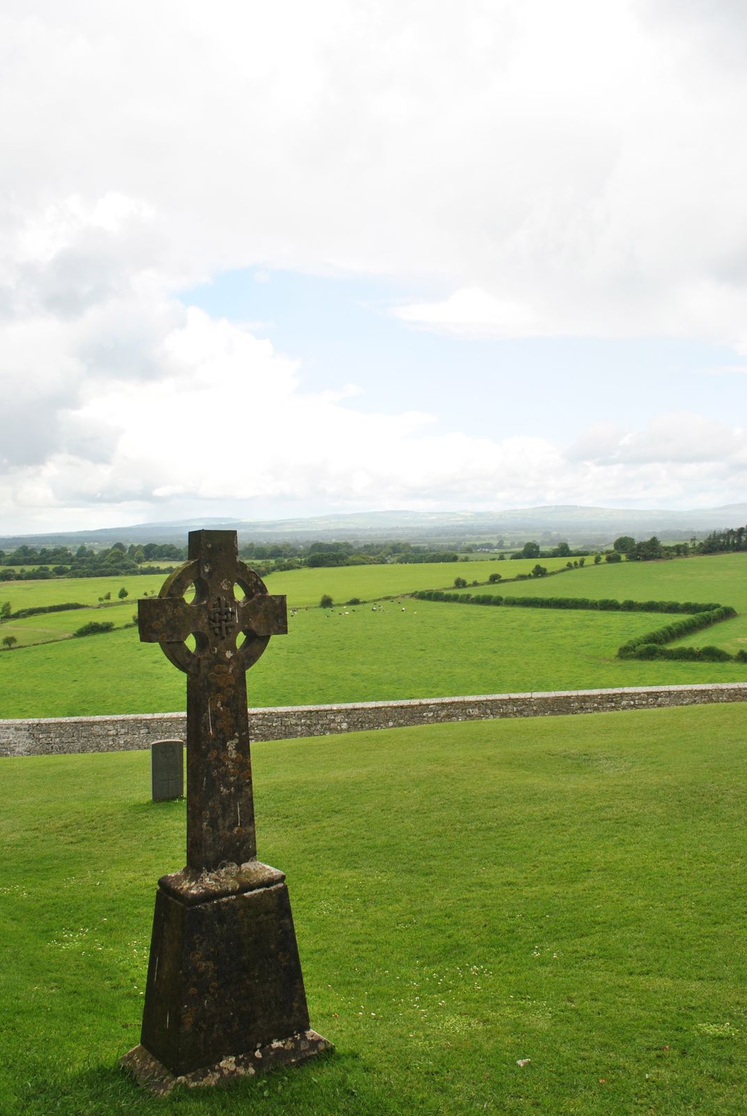 Cross in KillaconniganCross · 1261 yd
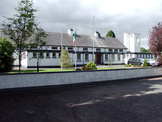 Saint Columbanus's National Schoolschool · 1.1 mi
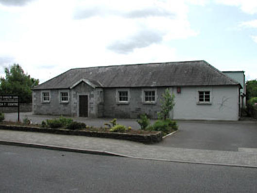 Ballivor National Schoolschool · 1.1 mi
 Carrantstown CastleCastle, unclassified · 1.3 mi
 ScregganWood · 1.6 mi
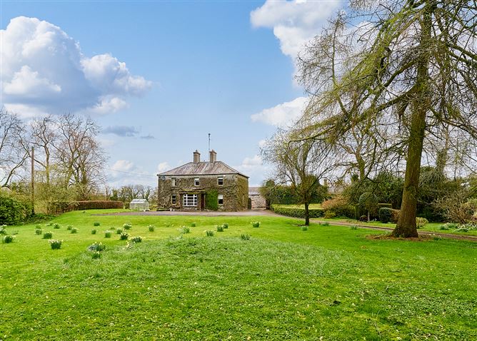 Enclosure in CrossanstownEnclosure · 2.0 mi
 MoatCastle, motte and bailey · 2.1 mi
 European BeechEuropean Beech · 4.0 mi
 FraineMountain / peak · 5.2 mi
 Croppies' GraveMemorial · 6.5 mi
 Cloncurry GraveyardHeritage attraction · 12 mi
 The New Line RoadMemorial · 12 mi
Other information
Photo: Credit not shown in the picture search · Rights wording not checked; contact us if this picture should be removed