What is recorded here
Situated on a natural hillock surrounded by poorly drained bogland. Depicted as a grove of trees on the 1st ed. OS 6-inch map. The hillock has been scarped and possible wall-footings of a building are located on top. The hillock may have been landscaped in the nineteenth century. Of doubtful antiquity.
In 2002 archaeological monitoring by Richard Crumlish of a development to the south of the site revealed three burnt spreads and two charcoal spreads. This monitoring was carried out under Licence No. 02E0945 (Bennett 2004, 476). Irish Grid Ref. of monitoring 2209/1685.
The above description is derived from 'The Archaeological Inventory of County Tipperary. Vol. 1 - North Tipperary' compiled by Jean Farrelly and Caimin O'Brien (Dublin: Stationery Office, 2002). In certain instances the entries have been revised and updated in the light of recent research.
Date of upload/revision: 22 September 2008
The monument record does not grant public access. Check the route and ask the landowner before entering private land.
- What survives
- Recorded monument
Places near here
 Burnt spread in DerryvilleBurnt spread · 348 yd
 Fulacht fia in DerryvilleFulacht fia · 439 yd
 Killoran Housecountry house · 1.4 mi
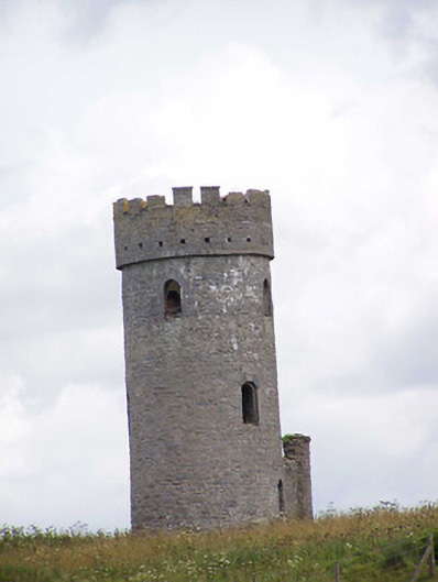 Killoran Towerfolly · 1.5 mi
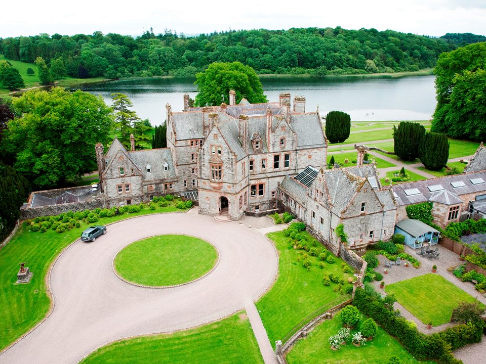 Lisalleen Castle (in ruins)Castle, unclassified · 2.1 mi
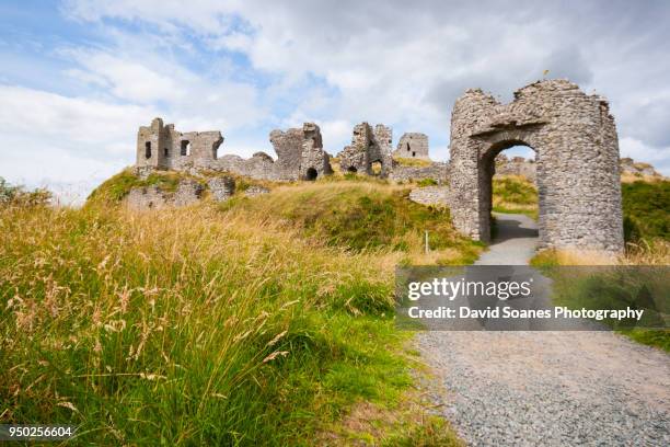 Baunaghra Ho. (in ruins)Castle, unclassified · 2.1 mi
 Tullow HillMountain / peak · 2.2 mi
 Clonmeen WoodWood · 3.8 mi
 Cnoc SeanrathaMemorial · 4.6 mi
 Pheasant IslandHeritage attraction · 8.0 mi
 Lár na PáirceMuseum · 8.2 mi
 European ashEuropean ash · 8.3 mi