What is recorded here
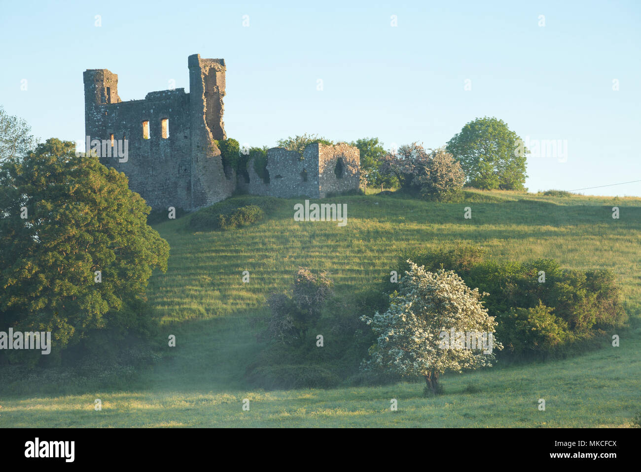
Situated at the edge of a S-facing slope down to a W-E section of the SW-NE River Boyne, with the stream c. 100m to the S. The parish church of Dunmoe (ME025-018001-) is within a subrectangular graveyard (dims c. 35m N-S; c. 30-35m E-W) defined by masonry walls with headstones dating from c. 1722 - c. 1920. The font (ME025-018004-) is now at the Roman Catholic church of St. Oliver Plunkett, in St. Mary’s Park in Navan (ME025-038----). Dunmoe castle (ME025-018002-) is immediately adjacent outside the graveyard to the E.
Compiled by: Michael Moore
Date of upload; 27 June, 2014
The monument record does not grant public access. Check the route and ask the landowner before entering private land.
- What survives
- Recorded monument
Places near here
 Dunmoe CastleCastle, unclassified · 38 yd
 CastleCastle, motte · 758 yd
 Church (in Ruins)Church · 759 yd
 Enclosure in ArdmulchanEnclosure · 999 yd
 Bridge in Ferganstown and BallymaconBridge · 1188 yd
 Rowley's WoodWood · 1316 yd
 Enclosure in DunmoeEnclosure · 1587 yd
 Blackcastle DemesneWood · 1.0 mi
 Donaghmore Round TowerHeritage attraction · 1.1 mi
 Carn HillMountain / peak · 1.7 mi
 Nangle CourtMemorial · 2.4 mi
 Mullagha HillMountain / peak · 4.0 mi