What is recorded here
Fairy fort / earthen ringfort in Dunlom West is a fairy fort or earthen ringfort in Dunlom West, County Westmeath, Ireland. The 1837 edition of the Ordnance Survey 6-inch map and the revised 1910 edition of the Ordnance Survey 25-inch map depicted the site as a roughly oval-shaped earthwork. Its dimensions were approximately 42 metres on the northeast to southwest axis and 27 metres on the northwest to southeast axis.
Situated in gently undulating pasture. Depicted on the 1837 ed. OS 6-inch map and on the revised 1910 ed. OS 25-inch map as a roughly oval-shaped earthwork (approx. dims. 42m NE-SW; 27m NW-SE). Monument is visible today as an oval-shaped tree-lined earthwork on Digital Globe aerial photography.
Compiled by Alison McQueen, Vera Rahilly and Caimin O’Brien.
Date of upload: 08 November 2019
A fairy fort / earthen ringfort in Dunlom West is a likely early-medieval ringfort, used as a defensive or agricultural settlement. It is associated with local folklore referring to it as a "fairy fort," suggesting beliefs in otherworldly inhabitants or supernatural significance.
The monument record does not grant public access. Check the route and ask the landowner before entering private land.
- What survives
- Recorded monument
Places near here
 OutlinedFairy fort / ringfort · 505 yd
 Partially indicatedEnclosure · 1182 yd
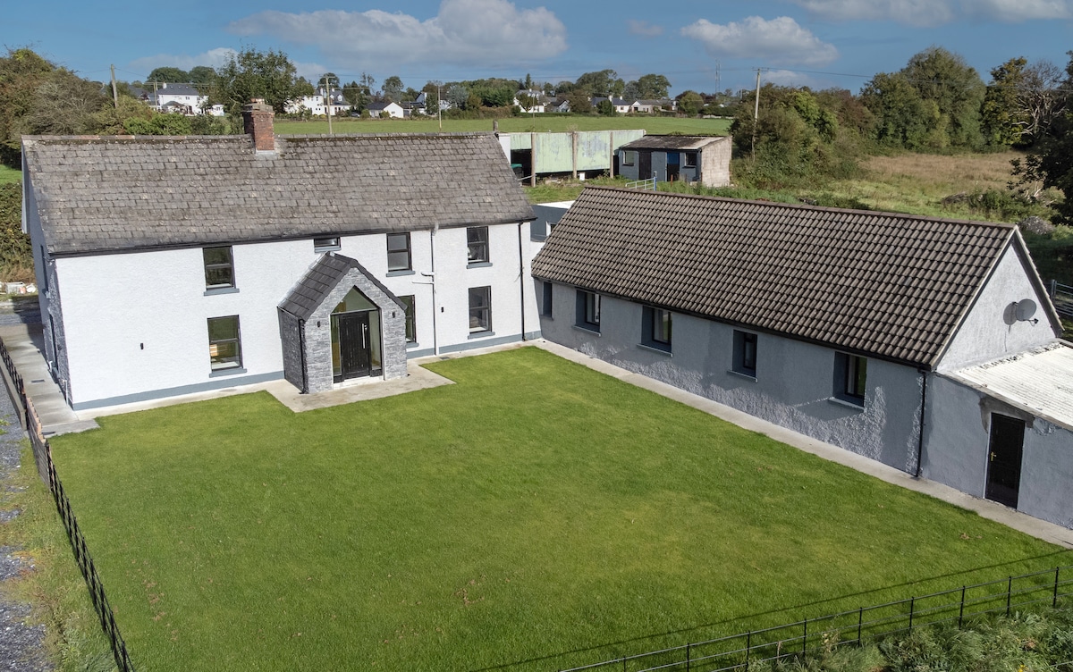
 Ballycloghduff Houseunknown · 1355 yd
 Corn Mill, Tuck MillWater mill, vertical-wheeled · 1484 yd
 CastleCastle, unclassified · 1508 yd
 Bawn in DuneganBawn · 1580 yd
 Dún na Sí Heritage CentreMuseum · 2.1 mi
 Dún na SíMuseum · 2.1 mi
 Charles BianconiMemorial · 2.7 mi
 Moate HillMountain / peak · 2.9 mi
 Roughan HillMountain / peak · 6.0 mi