
What is recorded here
Thirty metres north of the large rath, a forgotten circular ditch still bends the light in Dunleever Glebe. Jean Charles Caillere first pointed it out, but the land kept its own secret until satellite images pulled the shape from the soil. The enclosure may have been a small shrine, a boundary marker or a child’s game made serious by time. Whatever it was, it resisted forgetting long after the people who built it disappeared.
Situated in what might be a slight fold in a fairly level landscape. The cropmark of a circular enclosure (diam. c. 25m) defined by a single fosse feature is visible on Google Earth (12/07/2013; 14/07/2019). It is also visible on OSI images (2005). The large rath (ME036-008----) is c. 90m to the NNE, and it was first reported by Jean Charles Caillere.
See the attached image from Google Earth 14/07/2018
Compiled by: Michael Moore
Date of upload: 5 June 2019
The monument record does not grant public access. Check the route and ask the landowner before entering private land.
- What survives
- Recorded monument
Places near here
 Enclosure in CaprannyEnclosure · 762 yd
 Enclosure in PhillinstownEnclosure · 1339 yd
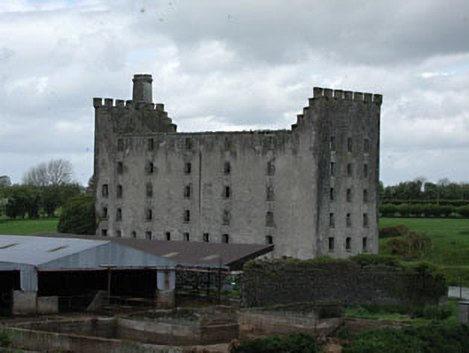 mill (water)mill (water) · 1658 yd
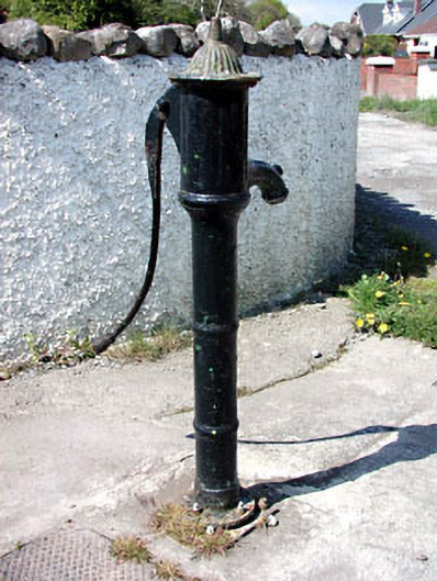 water pumpwater pump · 1697 yd
 IndicatedCastle, motte · 1.2 mi
 Moymet CastleCastle, tower house · 1.4 mi
 Wych ElmWych Elm · 4.6 mi
 Small-leaved ElmSmall-leaved Elm · 4.7 mi
 FraineMountain / peak · 5.3 mi
 Battle of Tara (Ireland)Major battlefield · 8.7 mi
 Battle of Tara Hillbattle · 8.7 mi
 Saint Patrick'sMemorial · 8.8 mi
Other information
Photo: Credit not shown in the picture search · Rights wording not checked; contact us if this picture should be removed