
What is recorded here
Indicated is a ruined ringfort on a Monaghan drumlin, reduced from a complete circle on the 1834 map to a thirty-one metre field bank beside Dungillick House. It is the kind of place where human ambition and fairy cunning become difficult to separate, because an ordinary fort may have been misread or a fairy fort may have worn a human shape. Either way, the land kept the curve long enough for people to believe it meant something.
Located at the crest of the N-facing slope of a NNE-SSW drumlin ridge and c. 100m SW of Dungillick House. A complete circular enclosure defined by a field bank is depicted on the 1834 edition of the OS 6-inch map and a portion of an enclosure is shown on the 1907 edition. It is known locally as a fort and portion of the bank is preserved in a field bank SW-W-N (Chord 31m).
The above description is derived from the published 'Archaeological Inventory of County Monaghan' (Dublin: Stationery Office, 1986). In certain instances the entries have been revised and updated in the light of recent research.
Date of revision: 25 July 2017
The monument record does not grant public access. Check the route and ask the landowner before entering private land.
- What survives
- Recorded monument
Places near here
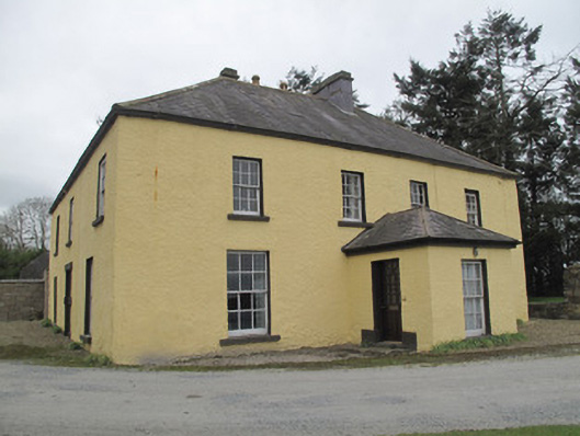 Dungillick Househouse · 151 yd
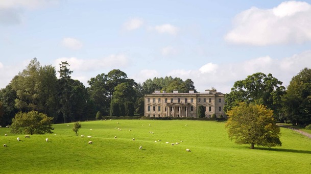 Hilltop enclosure in LenaghHilltop enclosure · 979 yd
 Emyvale Heritage TrailVisitor information · 1492 yd
 Cist in Scarnageeragh or EmyvaleCist · 1559 yd
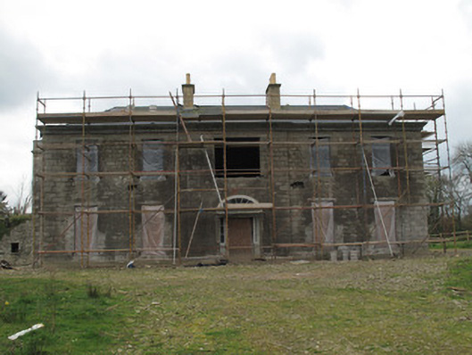 Fort Singletonhouse · 1647 yd
 St. Muadain's WellSpring · 2.7 mi
 Coolberrin HillMountain / peak · 3.7 mi
 Sitka SpruceSitka Spruce · 3.9 mi
 Caucasian FirCaucasian Fir · 3.9 mi
 Harry LaveryMemorial · 4.3 mi
 RAVELLA CASTLE:HOUSE AND BAWN in RavellaRAVELLA CASTLE:HOUSE AND BAWN · 5.0 mi
 Sliabh Beagh WayWalking route · 5.0 mi
Other information
Photo: Credit not shown in the picture search · Rights wording not checked; contact us if this picture should be removed