
What is recorded here
Terraced two-bay three-storey house with dormer attic, c.1815, originally two separate single-bay three-storey houses. Extensively renovated, c.1990, with replacement shopfront inserted to ground floor, and possibly with window openings remodelled to top floor. Pitched (shared) roof with replacement artificial slate, c.1990, clay ridge tiles, rendered (shared) chimney stack, replacement square rooflights, c.1990, and replacement uPVC rainwater goods, c.1990, on rendered eaves. Painted rendered walls with rendered quoins to ends. Square-headed window openings (possibly remodelled, c.1990, to top floor) with rendered sills, and moulded rendered surrounds. Replacement 2/2 uPVC sash windows, c.1990. Replacement timber shopfront, c.1990, to ground floor with panelled pilasters, fixed-pane timber display windows, glazed timber panelled doors, and fascia board over having scalloped detailing. Road fronted with concrete brick cobbled footpath to front.
A well-proportioned house, originally built as two separate houses, which forms an integral component of an early nineteenth-century urban planning project initiated by the Duke of Devonshire centred on Grattan (originally Market) Square. However, extensive renovation works in the late twentieth century have led to the loss of much of the original fabric and historic patina. Nevertheless, most of the form and massing remains intact, and the building contributes to the regular streetline and roofline of the south-east range of the square.
This does not grant access. Most recorded buildings are privately owned; view them only from public ground unless the owner allows entry.
Places near here
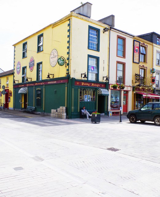 Delanyhouse · 33 yd
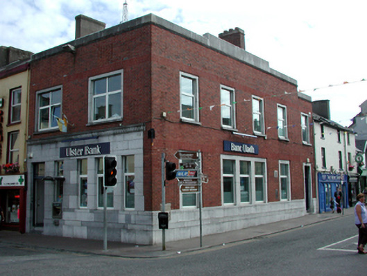 Ulster Bankbank/financial institution · 49 yd
 Grattan SquareVisitor information · 59 yd
 Waterford County MuseumMuseum · 123 yd
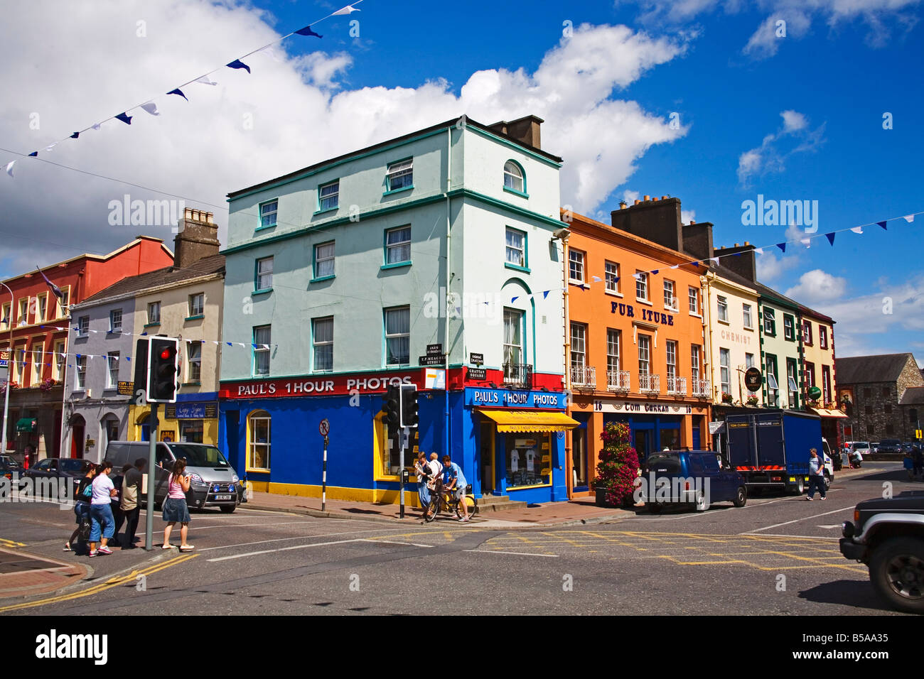 Town defences in DungarvanTown defences · 214 yd
 Dungarvan World War I MemorialMemorial · 272 yd
 Dungarvan Castle (in Ruins)Castle, Anglo-Norman masonry castle · 304 yd
 Dungarvan CastleCastle · 305 yd
 Structure in DungarvanStructure · 340 yd
 Castle (in ruins)Castle, tower house · 746 yd
 Cunnigar PointHeadland · 885 yd
 Horse-chestnutHorse-chestnut · 2.1 mi
Other information
Photo: National Inventory of Architectural Heritage · Website use allowed for educational or private purposes with source credit