What is recorded here
Situated in tillage field with enclosure (KD027-050----) 90m to WNW. Cropmark of an enclosure (approx. dims. 52m E-W x 43m N-S) with annexe to N is visible on Google earth aerial imagery. A field boundary running E-W intersects the enclosure at S.
See attached image taken from Google Earth aerial photographs taken 28/06/2018.
Compiled by: Caimin O'Brien based on details kindly provided by Faith Bailey.
Date of upload: 20 November 2018
The monument record does not grant public access. Check the route and ask the landowner before entering private land.
- What survives
- Recorded monument
Places near here
 Enclosure in DuneanyEnclosure · 150 yd
 Site of CastleCastle, unclassified · 1084 yd
 Church (in Ruins)Church · 1113 yd
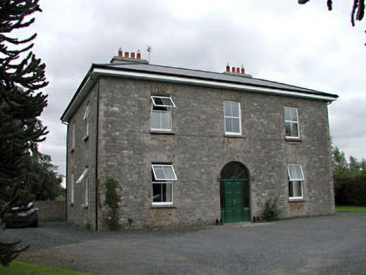 Oghill Housefarm house · 1576 yd
 Brookfield WoodWood · 1.3 mi
 Enclosure in Grangebeg (kildangan Ed)Enclosure · 1.3 mi
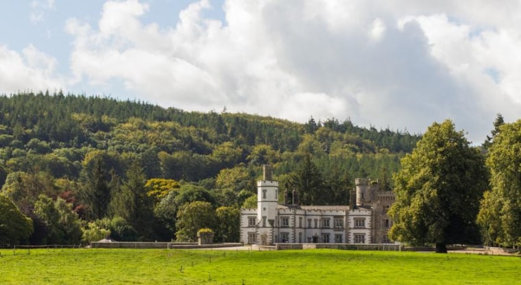 CastleCastle, unclassified · 2.2 mi
 Moore Abbey WoodWood · 3.0 mi
 Horse MuseumMuseum · 3.5 mi
 Japanese GardensHeritage attraction · 3.5 mi
 Battle of Kilrushbattle · 6.4 mi
 Bithia Mary CrokerMemorial · 6.9 mi