What is recorded here
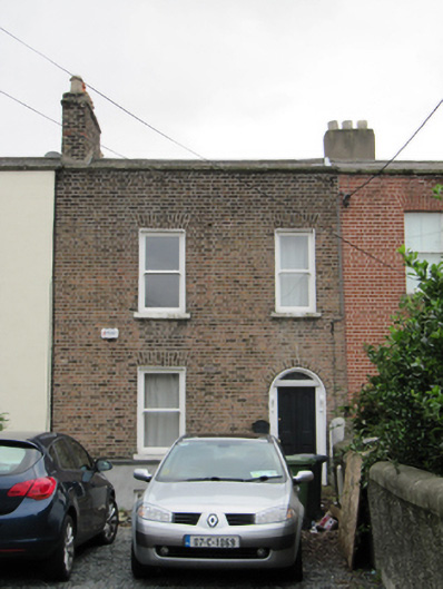
Terraced double-pile two-bay two-storey over basement house, built c.1810, having return with catslide roof to rear (south) elevation. M-profile pitched artificial slate roof having red brick chimneystacks, clay pots, and parapet to front (north) elevation with granite coping. Brown brick walls laid in Flemish bond having string course over rendered walls to basement. Yellow brick walls to rear elevation, laid in English garden wall bond. Square-headed window openings with one-over-one pane timber sash windows and cut granite sills. Round-headed door opening with timber panelled door, carved timber doorcase and plain fanlight. Flagged path. Recent railings to basement area. Garden to front having rendered piers with granite caps to either end of front boundary, with setts to garden threshold.
Addressing Dublin’s Grand Canal, this house forms part of a terrace which was built shortly after the completion of the circular line of the canal in 1797. The terrace was built on lands belonging to the Earl of Meath, beside the river Poddle and the Greenmount Spinning Manufactory which was built in 1808. This land had been the site of a corn mill since the mid-eighteenth century. The houses along the terrace exhibit a well-designed and well-executed early suburban architecture. This house brings variety to the terrace, with an interesting irregular fenestration pattern which differs from its more formal neighbours. Together they make a positive architectural contribution to the street and to the setting of the Grand Canal.
This does not grant access. Most recorded buildings are privately owned; view them only from public ground unless the owner allows entry.
Places near here
 Griffith College Dublinbarracks · 134 yd
 Robert EmmetMemorial · 160 yd
 Robert Emmet Bridgebridge · 169 yd
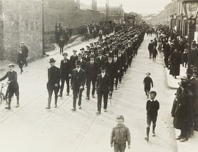 Fourth Battalion Dublin BrigadeMemorial · 404 yd
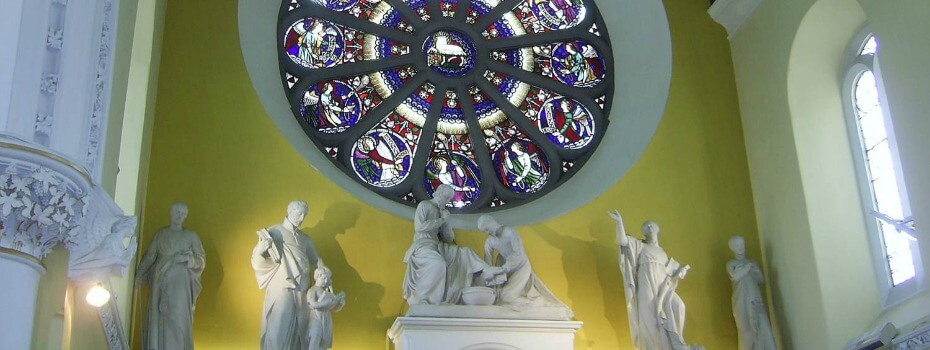 Mary Aikenhead Heritage CentreMuseum · 423 yd
 Site of Donore Castle indicatedCastle, unclassified · 492 yd
 Irish Jewish MuseumMuseum · 630 yd
 Courthouse in Unknown TownlandCourthouse · 1451 yd
 Battle of RathminesMajor battlefield · 1670 yd
 Medieval DublinVisitor information · 1674 yd
 Cross in Unknown TownlandCross · 1696 yd
 Bus Route InformationVisitor information · 1.0 mi
Other information
Photo: National Inventory of Architectural Heritage · Website use allowed for educational or private purposes with source credit