
What is recorded here
The Friends of Medieval Dublin Map (1978) shows the site of a cross at the junction of Christ Church Place and High Street. This was the principal place for the reading of proclamations and public announcements (Gilbert 1854-9, 1, 213-6; FMD map (1978, 05). It is shown on Speed's map of 1610 (Gillespie,1973, 33). A drawing from 1784 shows a square shaft, crowned by a small cross and set on a circular base or plinth, which in turn stands on a set of three octagonal steps. Panels on the shaft contain scenes of the Crucifixion, Descent from the cross and the Passion (Crawford 1911,391-3). There is no visible surface trace.
Compiled by: Geraldine Stout
Date of upload: 23 November 2012
A local church or high cross; wider significance not recorded.
The monument record does not grant public access. Check the route and ask the landowner before entering private land.
- What survives
- Recorded monument
Places near here
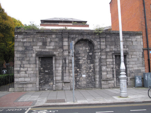 Church of Saint Nicholas Withinchurch/chapel · 46 yd
 IndicatedCathedral · 76 yd
 Christ Church Cathedralcathedral · 112 yd
 Furnace in Unknown TownlandFurnace · 138 yd
 St Audoen’s ChurchMuseum · 199 yd
 Saint Audoen's GateHeritage attraction · 210 yd
 Medieval DublinVisitor information · 255 yd
 Gairdín Súgartha i gCuimhne ar na Páistí a Cailleadh in 1916Memorial · 300 yd
 CastleCastle, Anglo-Norman masonry castle · 301 yd
 St. Michael's le Pale Church YardMemorial · 306 yd
 Newcomen BankVisitor information · 306 yd
 European PearEuropean Pear · 894 yd
Other information
Photo: Credit not shown in the picture search · Rights wording not checked; contact us if this picture should be removed