
What is recorded here
Donore Castle stood inside a medieval borough recorded in Alen's Register for 1228, but no wall, trench or stone still shows where its rooms rose. The 1837 survey marked only the lost site before a business park covered the townland entirely. Men may have built, bled and forgotten the castle within decades, leaving behind a name rather than a shape.
Shown on the OS 1837 map as 'Site of Donore castle'. The site is occupied by a Business park. This castle was located within a medieval borough which is mentioned in Alen's Register for the year 1228 (Martin 1981, 40). No visible surface trace.
Compiled by: Geraldine Stout
Uploaded on: 11th September 2018
The castle was associated with a medieval borough recorded in 1228 and was likely built in the 13th century, reflecting early Norman settlement in the region. Its site is now lost beneath a business park, but its historical significance lies in its connection to medieval land and trade networks.
The monument record does not grant public access. Check the route and ask the landowner before entering private land.
- What survives
- Recorded monument
Places near here
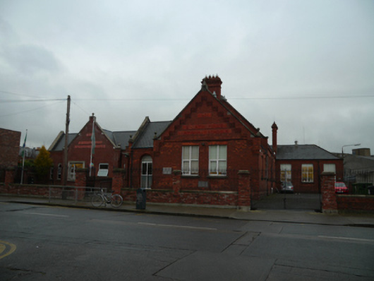 Saint Catherine's National Schoolschool · 100 yd
 Ettie Gluck born SteinbergMemorial · 100 yd
 Wojteck GluckMemorial · 100 yd
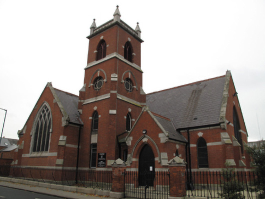 Church of Ireland Church of Saint Catherine and Jameschurch/chapel · 106 yd
 Teeling Whiskey CompanyHeritage attraction · 720 yd
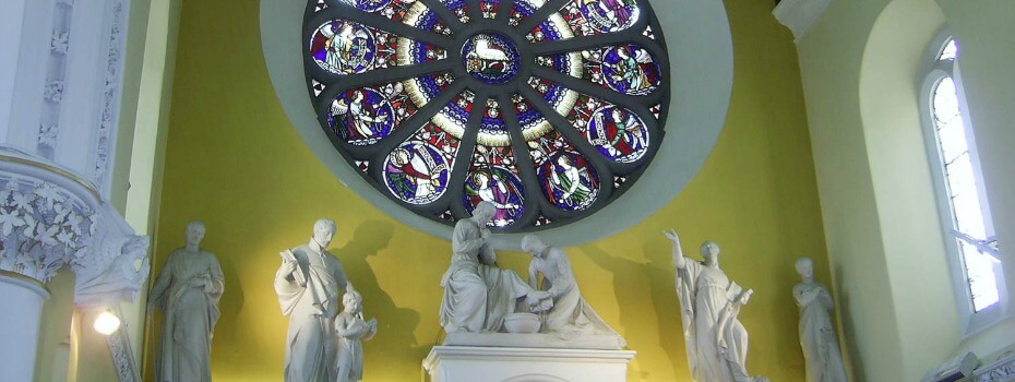 Mary Aikenhead Heritage CentreMuseum · 748 yd
 Field system in Unknown TownlandField system · 887 yd
 Cabbage Garden Grave YardGraveyard · 987 yd
 Bus Route InformationVisitor information · 1290 yd
 European PearEuropean Pear · 1382 yd
 Gairdín Foirmiúil Ospidéal Ríoga Chill MhaighneannVisitor information · 1.1 mi
 CastleCastle, unclassified · 1.1 mi
Other information
Photo: Credit not shown in the picture search · Rights wording not checked; contact us if this picture should be removed