What is recorded here
Indicated is a circular fairy fort on a Monaghan drumlin crest, holding a grassy bowl forty-two metres wide inside a low earthen bank and hedge. It appeared briefly on a 1907 map before fading from human charts, suggesting the land kept its own boundary while people stopped drawing it. The outer drain still cuts across the ridge, feeding water away from the hidden centre.
Located at the S-facing crest of one of the summits of a NE-SW drumlin ridge. It is depicted only on the 1907 edition of the OS 6-inch map as a D-shaped feature defined by field banks. This is a circular grass-covered area (diam. 42m; N-S; 39m E-W) defined by an earthen bank and hedge (Wth c. 2m; int. H c. 0.6m; ext. H c. 1.2m) with an outer drain (Wth c. 1.2m; D 0.6m) NW-E-SE and by a slight scarp elsewhere.
The above description is derived from the published 'Archaeological Inventory of County Monaghan' (Dublin: Stationery Office, 1986). In certain instances the entries have been revised and updated in the light of recent research.
Revised by: Michael Moore
Date of revision: 20 June 2018
The monument record does not grant public access. Check the route and ask the landowner before entering private land.
- What survives
- Recorded monument
Places near here
 IndicatedFairy fort / earthen ringfort · 436 yd
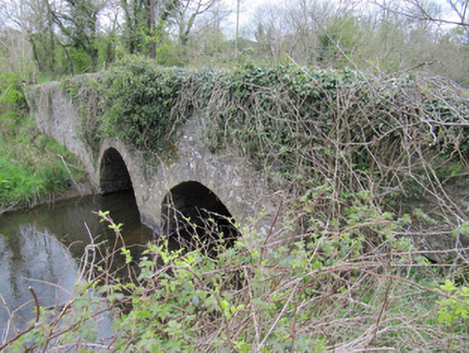 bridgebridge · 738 yd
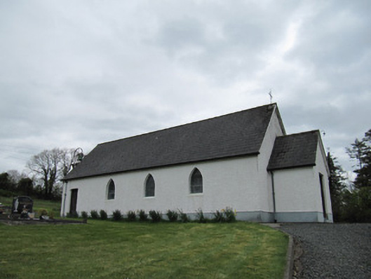 Corrinshigo Catholic Churchchurch/chapel · 1468 yd
 Enclosure in Corrinshigo (cremorne By)Enclosure · 1469 yd
 LattacrossanMountain / peak · 1.4 mi
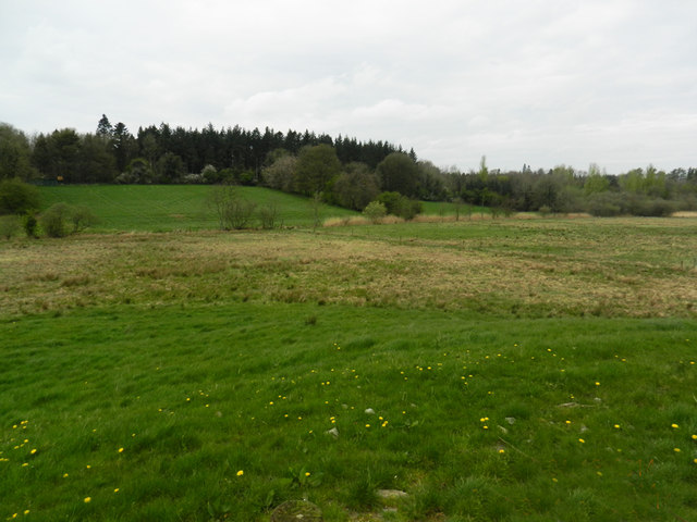 Carn WoodForest · 1.8 mi
 Cush WoodWood · 1.8 mi
 CorrakeeranMountain / peak · 2.0 mi
 Drumcarn Ho.Castle, unclassified · 3.4 mi
 Bawn in DrumsheilBawn · 3.4 mi
 Giant's GraveArchaeological place · 4.1 mi
 Saint John's WellSpring · 5.0 mi